How tiny satellites helped California fight fires
The Camp Fire broke out at about 6:30 am on Nov. 8, after power lines malfunctioned and fast winds carried sparks into arid brush in Paradise, California. Flames swept down the valley at a ferocious pace, overtaking roads crammed with fleeing residents within hours.


The Camp Fire broke out at about 6:30 am on Nov. 8, after power lines malfunctioned and fast winds carried sparks into arid brush in Paradise, California. Flames swept down the valley at a ferocious pace, overtaking roads crammed with fleeing residents within hours.
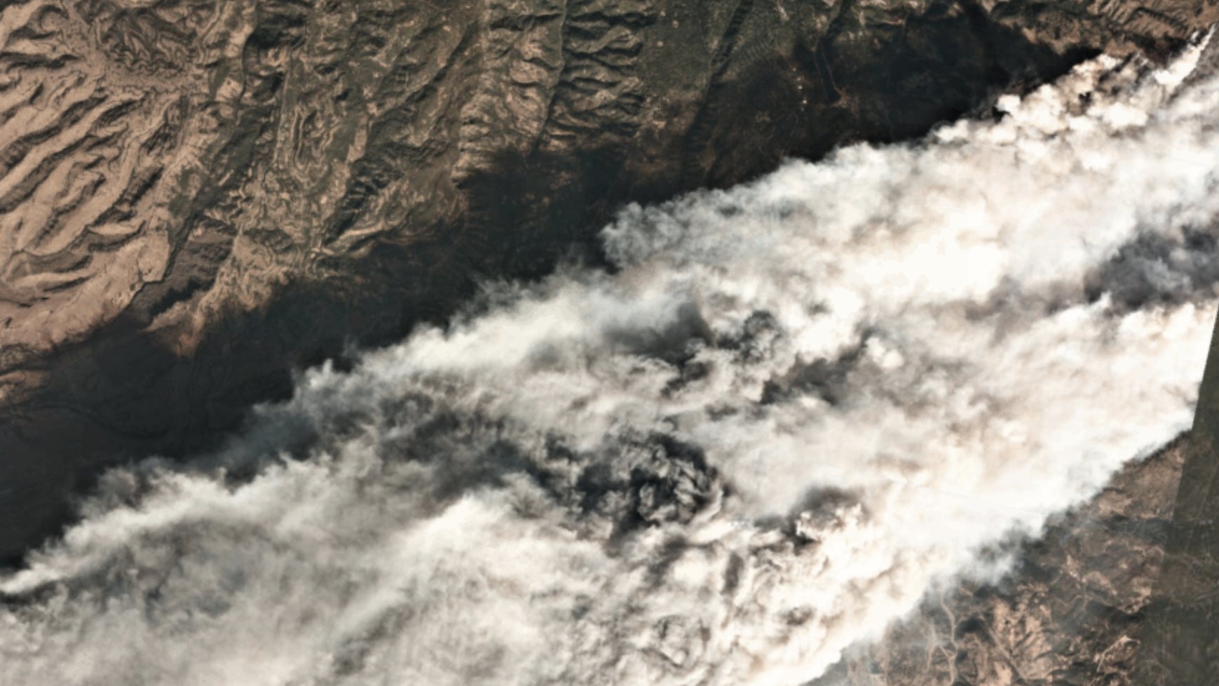
At 10:30 am, a tiny satellite flew overhead, snapping imagery of the fire. It relayed the data back to the San Francisco headquarters of Planet, a satellite company, where smoke was already in the air, 100 miles from the fire. The picture at the top of this page is what their team saw.
Many of the company’s workers had lived through previous California fires. They knew this was a big deal. A few days earlier, Tara O’Shea, a Planet executive who works on forestry issues, had met with state emergency management officials to explain how satellite imaging could help prevent wildfires by measuring the dangerous build-up of dead, dry brush from space.
Sure enough, the California Office of Emergency Services called: Could Planet give them a birds-eye view, ASAP?
Brittany Zajic, who works on disaster response at Planet, hopped in a car the next morning with one of the company’s engineers and drove to Sacramento, where they plugged the state’s emergency operations center into their imagery platform. In southern California, where the Woolsey Fire broke out, Zajic’s parents had been forced to evacuate.

“It’s absolutely critical that we leverage every technology out there, including emerging ones like remote sensing,” said Mark Ghilarducci, the director of the state’s emergency response office. “High-resolution, in-the-moment satellite imagery before, during and even after a disaster strikes an area” is “a gold mine of data for first responders and emergency managers to utilize for decision making,” he said.
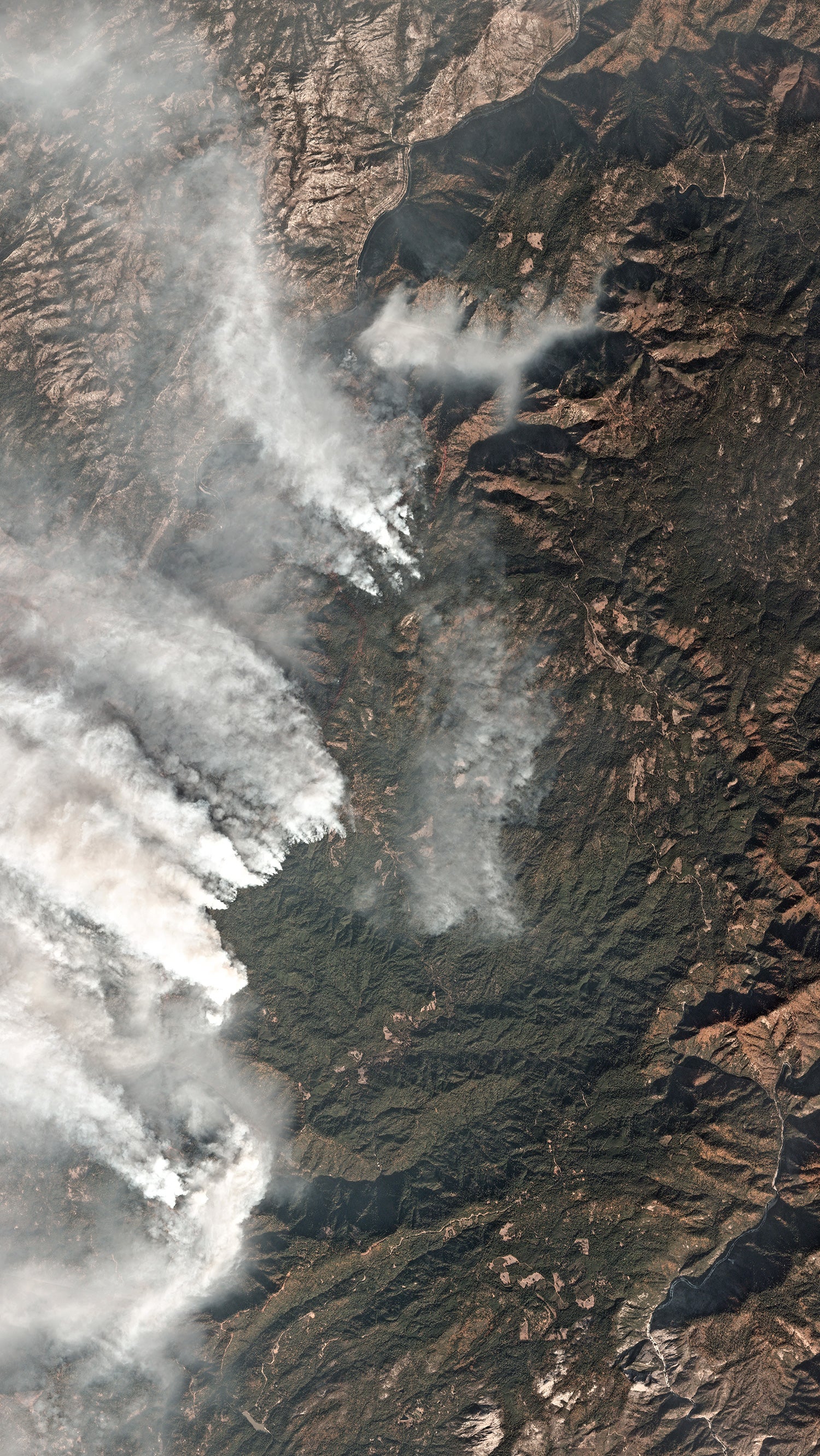
Planet’s satellite snapped that first picture because its Dove space network is designed to capture every piece of earth’s landmass daily, a frequency unmatched by other commercial satellites. As the California wildfires developed, that frequency provided “daily situational awareness” for state emergency responders.
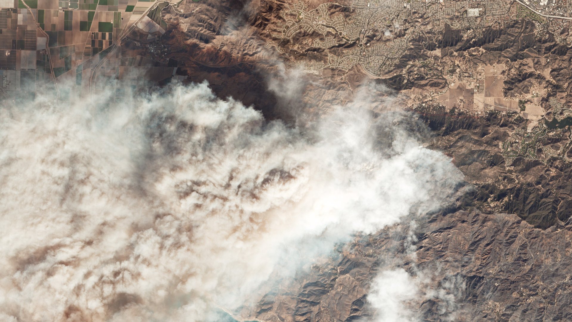
Planet also tasked another network of larger satellites called SkySats to use more precise sensors to monitor both fires on a daily basis. That data is granular enough to see if evacuation sites are being overcrowded, and assess fire damage on a property-by-property basis.

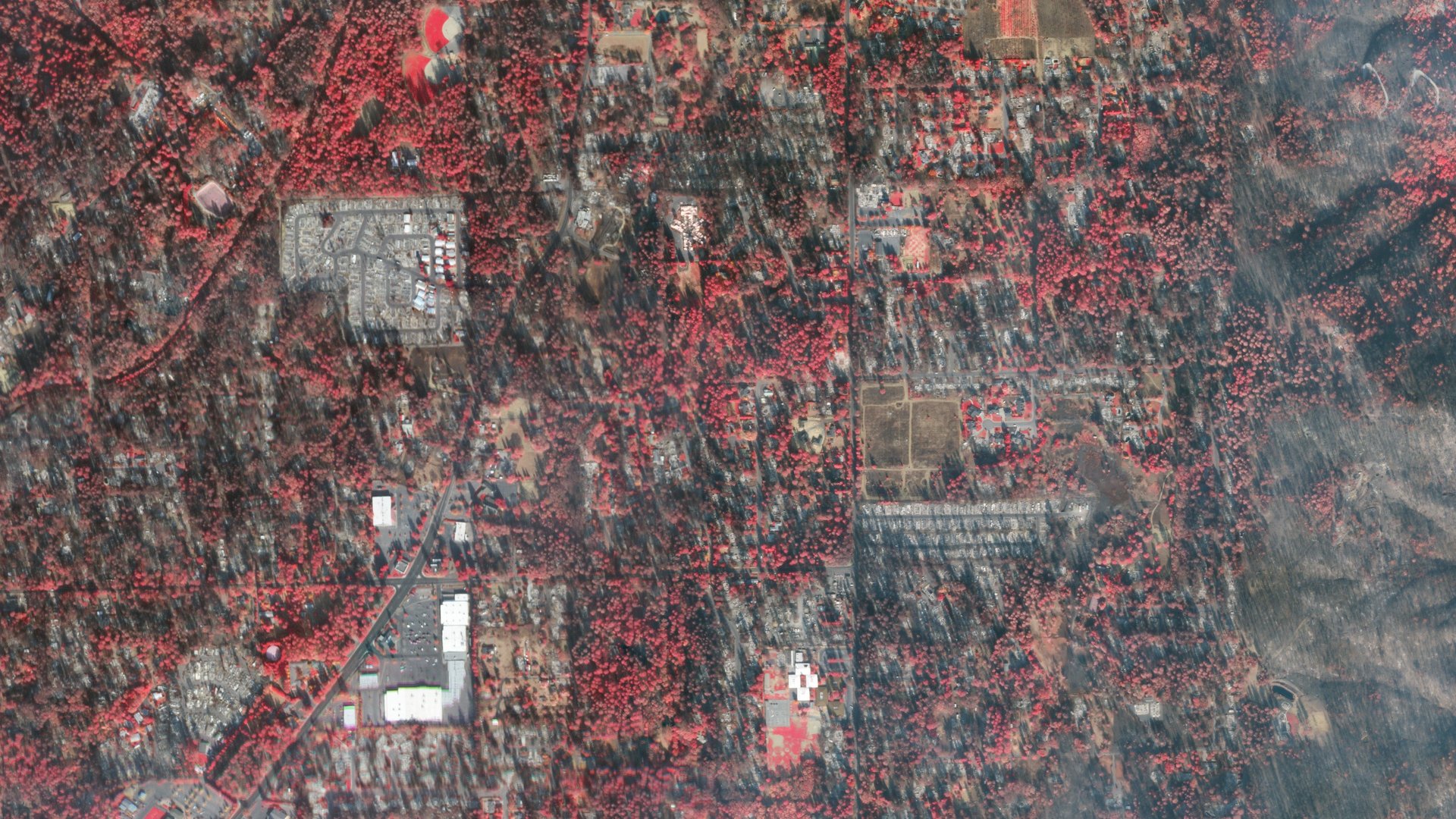
Both types of satellite can provide data collected in the near-infrared band of the light spectrum. Counter-intuitively, in these images healthy vegetation is red, while burned areas show up as black.
With these images, emergency officials can instantly account for property damage. That information isn’t just important for recovery efforts—to secure federal emergency assistance, local officials need to show the extent of the damage their citizens and property face.

“In the immediate aftermath, when we drove up on Friday, that first look was imperative in order to gain access to the federal declaration to the state of emergency and gain access to the federal wide resources,” Zajic says.
When it comes to monitoring wildfires, options like drones, helicopters and planes face difficulties peering through smoke and flying in high winds. Satellites are a game changer for fire monitoring; the US government operates weather tracking satellites that have this function.
During California’s 2017 wildfires, one US weather satellite experimented with tracking hot spots, but it is now positioned over the east coast to track hurricanes; its west coast counterpart was launched in March and will come online in December. These satellites, called GOES, must be targeted at a specific destination, and can only show a half kilometer per pixel; Planet’s Doves show three meters and SkySats 80 centimeters per pixel.
Planet’s relationship with California began with a partnership to build a new satellite to track climate change, announced in September. Planet’s founders are former NASA researchers, and many of its team have spent their careers developing the technology to measure how global warming is changing the earth.
“It’s a scary reality, that this is our new reality,” O’Shea says. “I personally came to Planet because I think this data set has real potential for climate solutions. It is really meaningful to see that play out, particularly in the place where we live.”