Dan Lopez pulled his iPhone out of his pocket to show me a series of texts. Each was a satellite picture of a particular farm in Syria, optimized to show a kind of heat map—where food is growing, and where food is burning. That is, his phone gets automatic updates on the state of a food crisis half a world away.
Dan Lopez pulled his iPhone out of his pocket to show me a series of texts. Each was a satellite picture of a particular farm in Syria, optimized to show a kind of heat map—where food is growing, and where food is burning. That is, his phone gets automatic updates on the state of a food crisis half a world away.
Lopez is a technologist at Urthecast, and his phone captures the promise of the satellite imagery company, which operates two cameras on the International Space Station that cost $35 million to develop. Today, it unveiled the first full-color video of earth taken from space. (Top-secret spy satellites have presumably had this capability for a while, but this is the first available to us regular folk.)
Join 500,000+ readers who start their day with Quartz.
By subscribing, you agree to our Terms of Service and Privacy Policy.
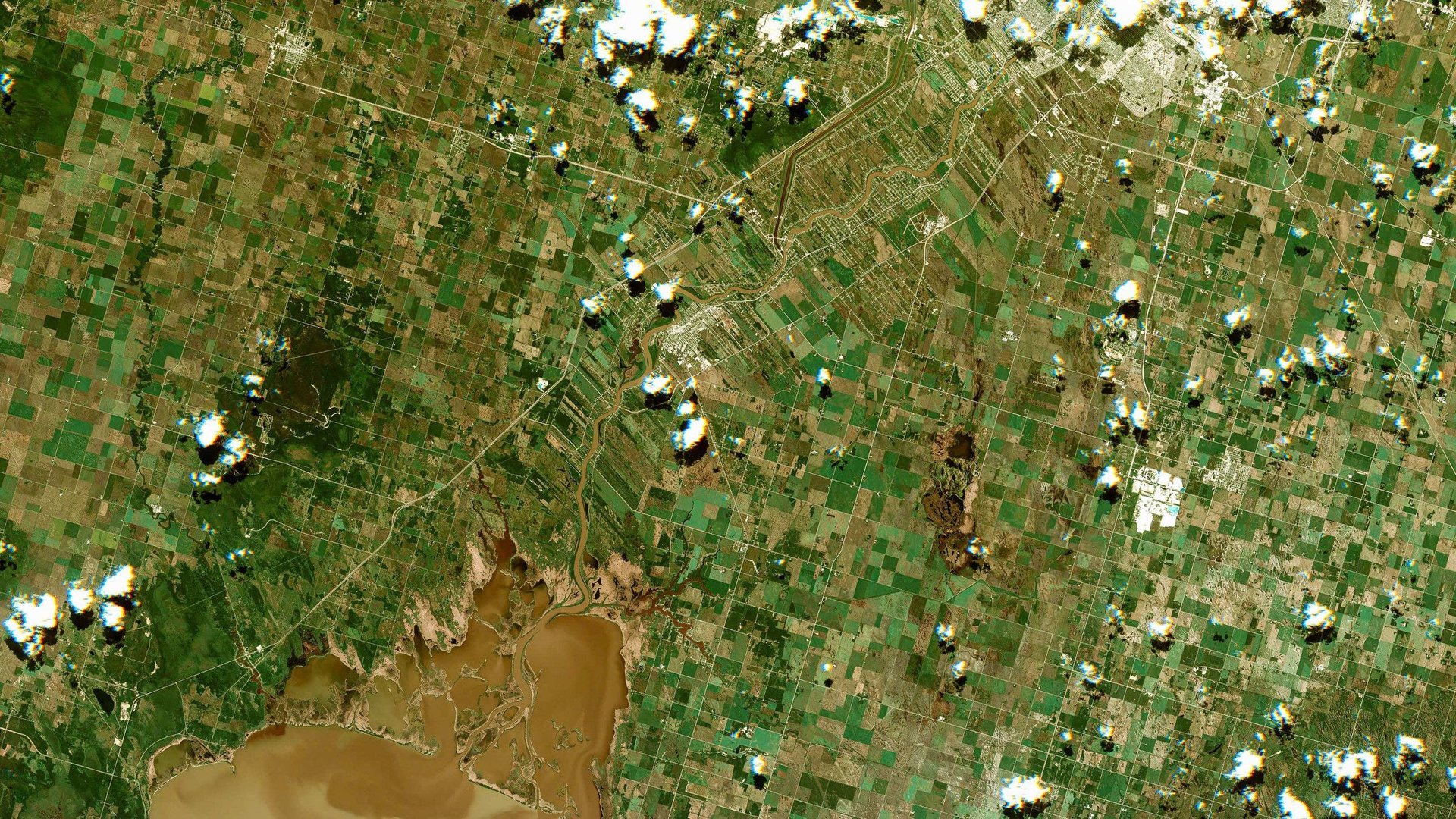
The videos show three cities at a resolution that makes anything bigger than a meter visible; we recommend watching them in high-definition and full-screen.
The company plans to offer the imagery in several tiers, from a free video feed on its website to an API that will allow customers, including corporations, governments and individuals, to purchase imagery data from its database or make real-time requests for a look at a given spot on the earth. The cameras scan the ground under the ISS, which tracks the earth between about 51 degrees north and south latitude.
By the end of July, the company expects to be generating revenue from direct sales of its video and other data, CEO Scott Larson told reporters. Potential clients include government agencies, businesses in sectors that rely on data like agriculture, shipping and resource extraction, and financial arbitrageurs. The company is close to providing real-time data on activity at ports and mines, for example. And it already has a partnership with the United Nations to provide data for humanitarian concerns, like the food supply in Syria, and will develop a crowdsourced platform to monitor deforestation in the Amazon $AMZN.

As important as the hardware cameras and their gyroscopic stabilizers—the ISS, where astronauts jog, is constantly moving—is the software behind the effort. The the 30- to 70-second videos take place as the orbiting camera views a single spot from a 30 degree through a 60 degree angle, so converting it to comprehensible video requires significant processing. And that’s before you get to storing what is already a petabyte of data on cloud servers and building a platform and API to meaningfully access it.
But the company believes the wealth of information available in its imagery, along with the constant stream of updates, will be an extremely valuable asset, especially when combined with existing data sets about everything from geology to botany. And if you’re freaked out about being filmed from above, Urthecast’s executives say that their cameras can’t see faces or identify license plates–but also that 50 or more cameras on government satellites could be taking pictures of you every day.
Urthecast means to democratize access to this kind of data as much as it can, like other start-ups entering the $1.8 billion satellite imagery market, including Skybox (acquired by Google $GOOGL) and Planet Lab. ”The reality is, it’s hard to get imagery from space,” CTO George Tyc says. “Nobody at this point has video of this resolution.”