Fifteen of the most breathtaking photos of Earth from the International Space Station
Massachusetts’ Cape Cod, in the US, has its foundations in glaciers from 20,000 years ago.
Image: Courtesy NASA
By
Thu-Huong Ha
We may earn a commission from links on this page.
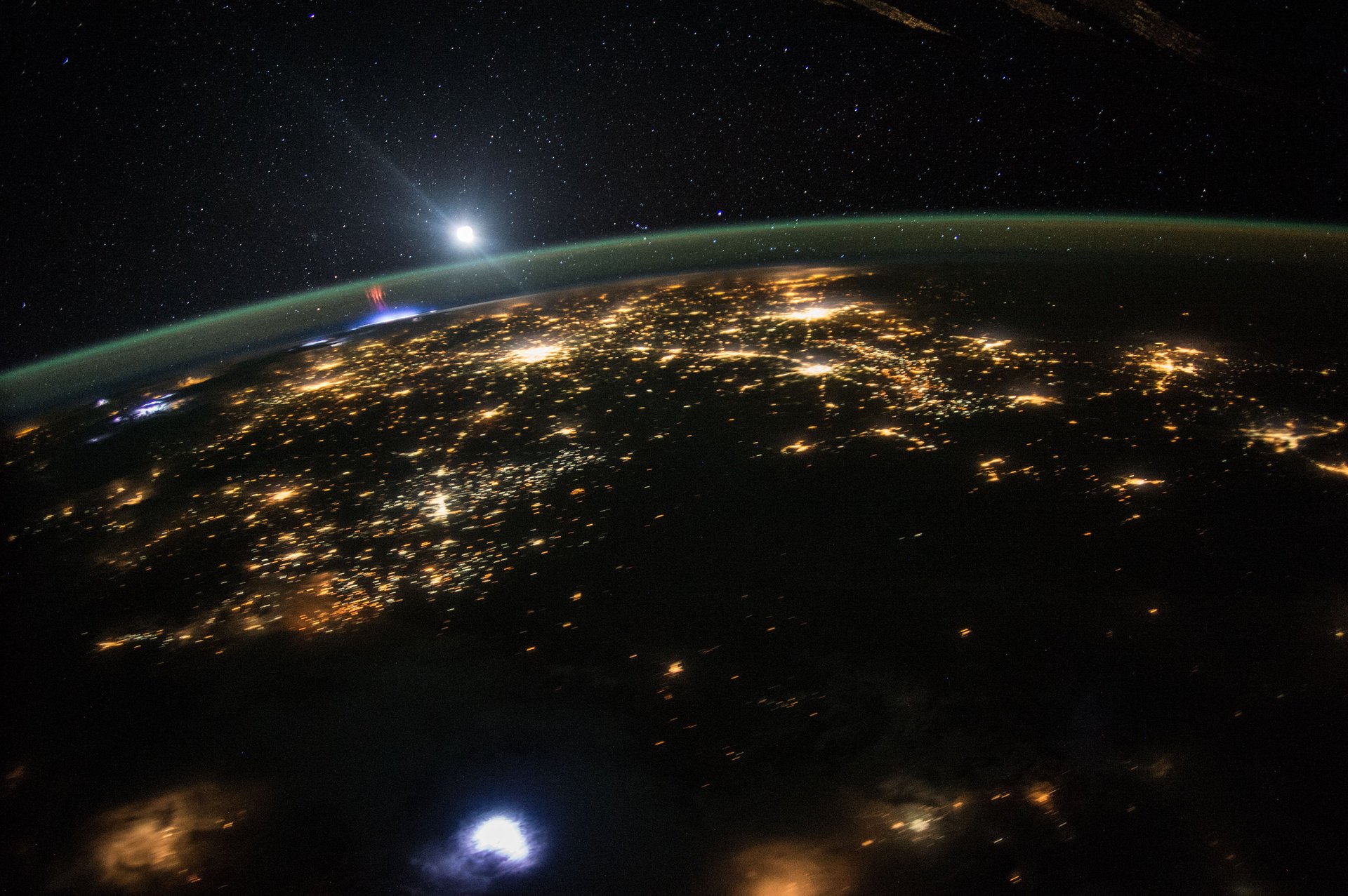
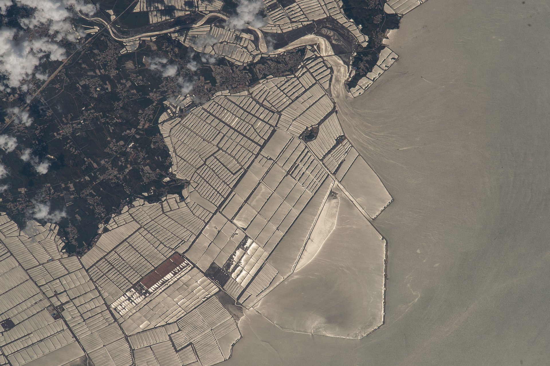
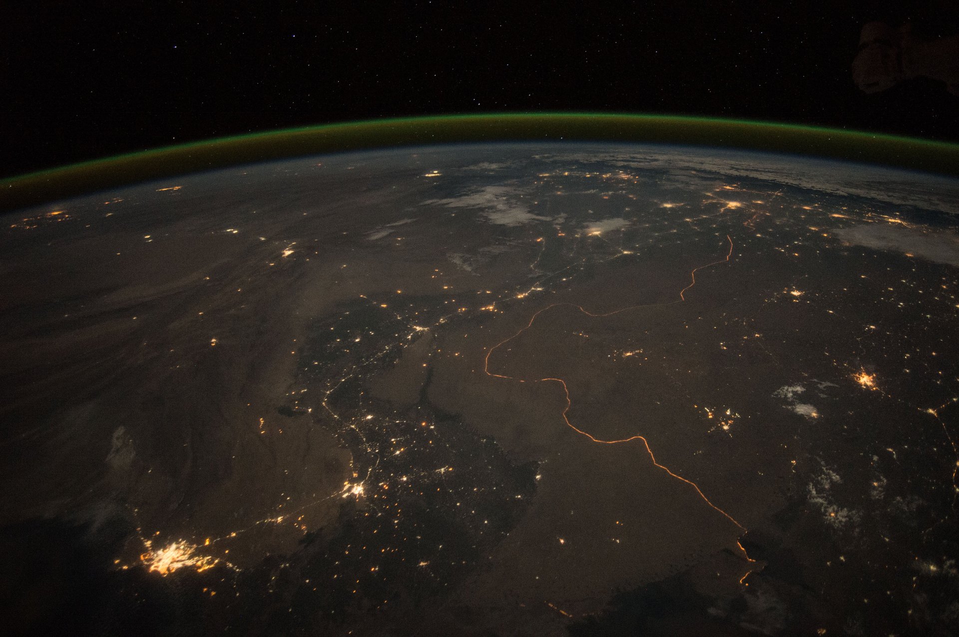
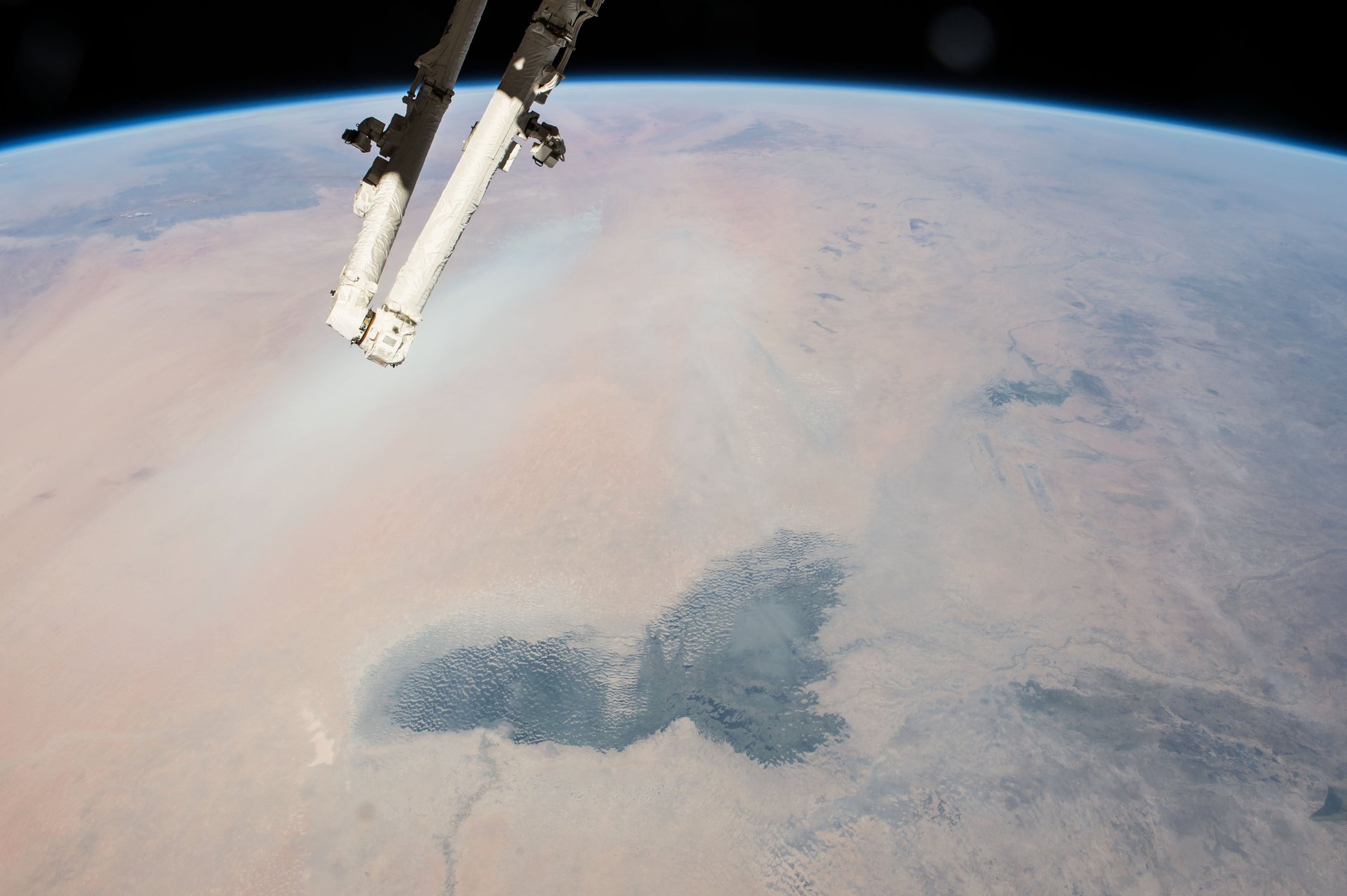
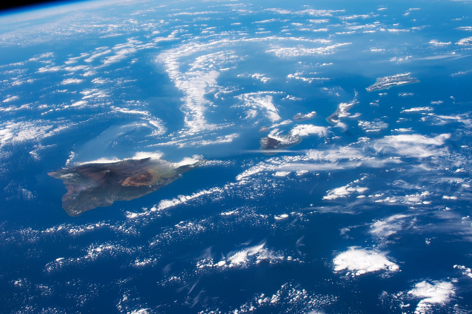
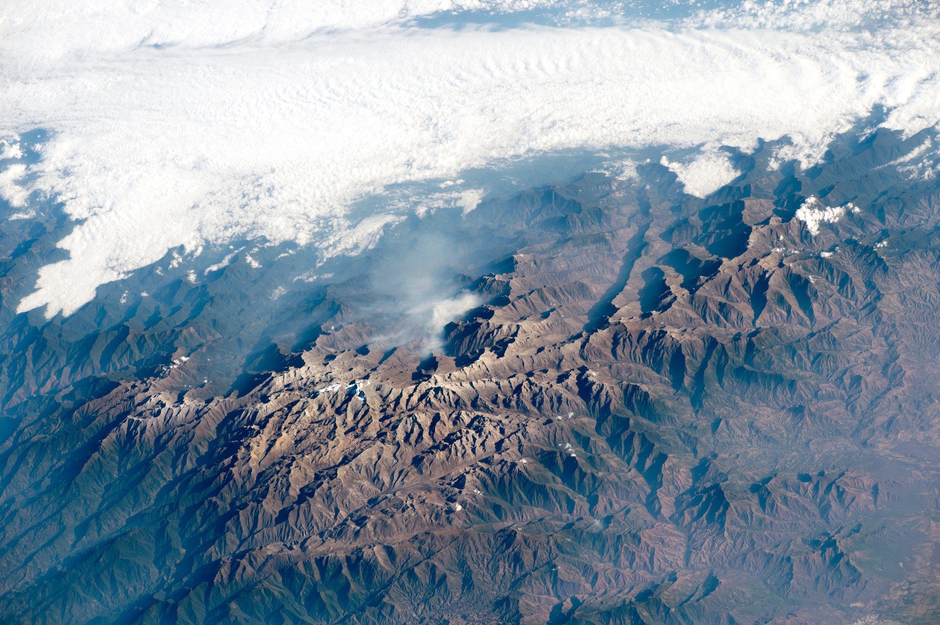
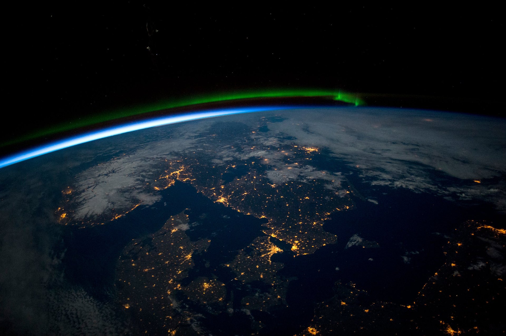
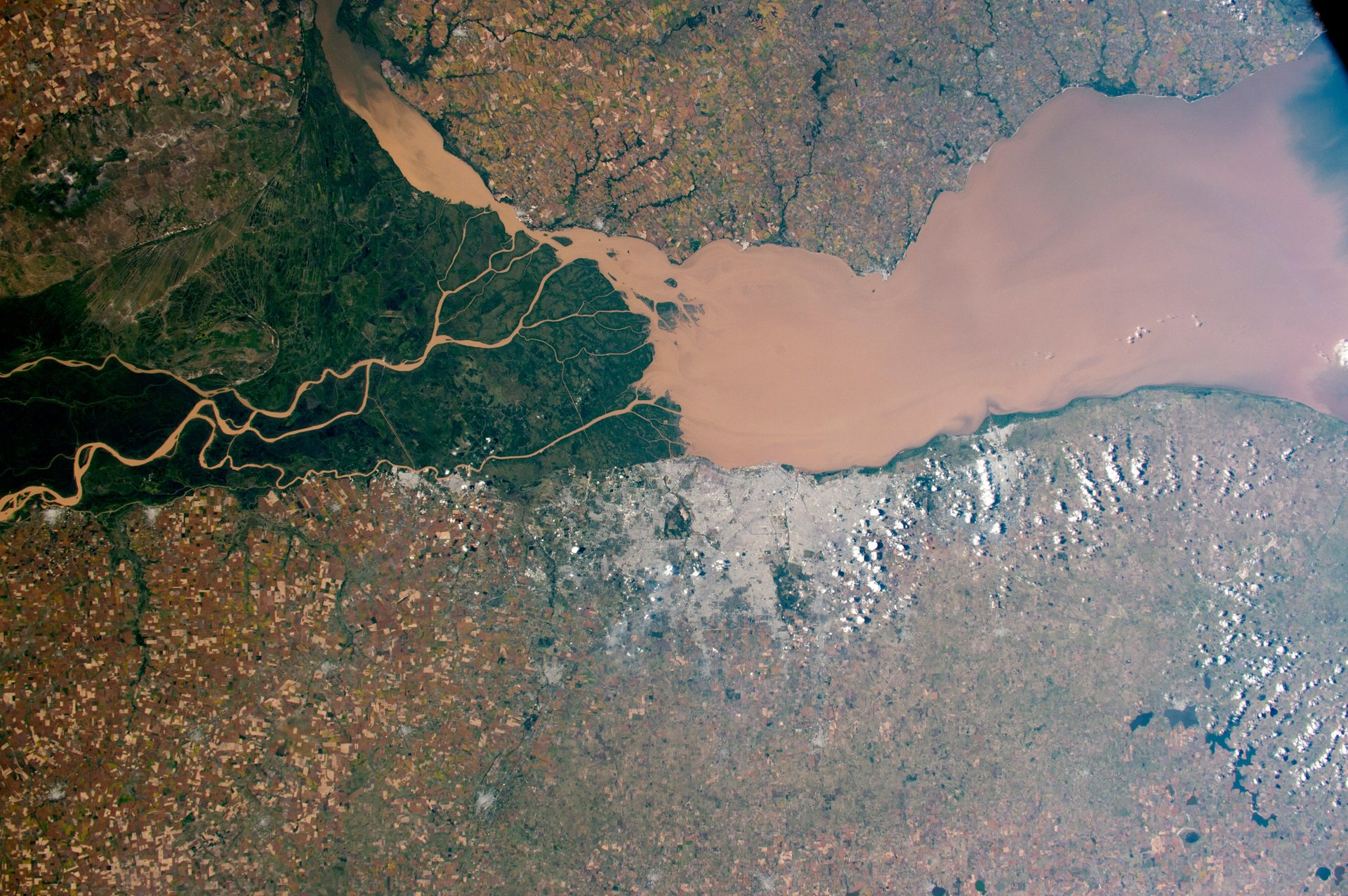
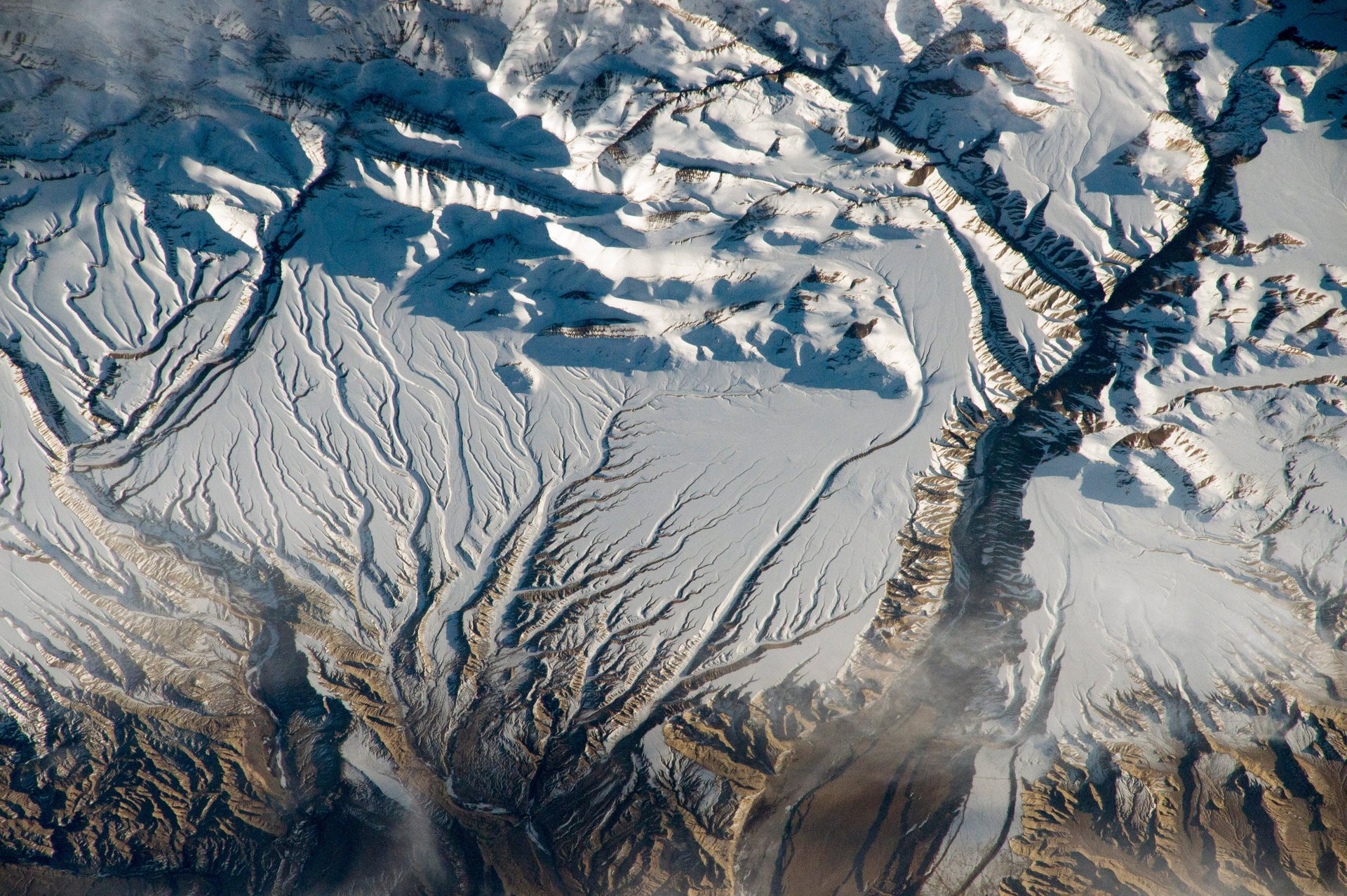
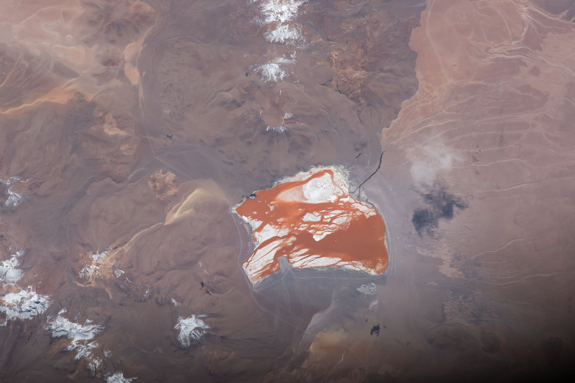
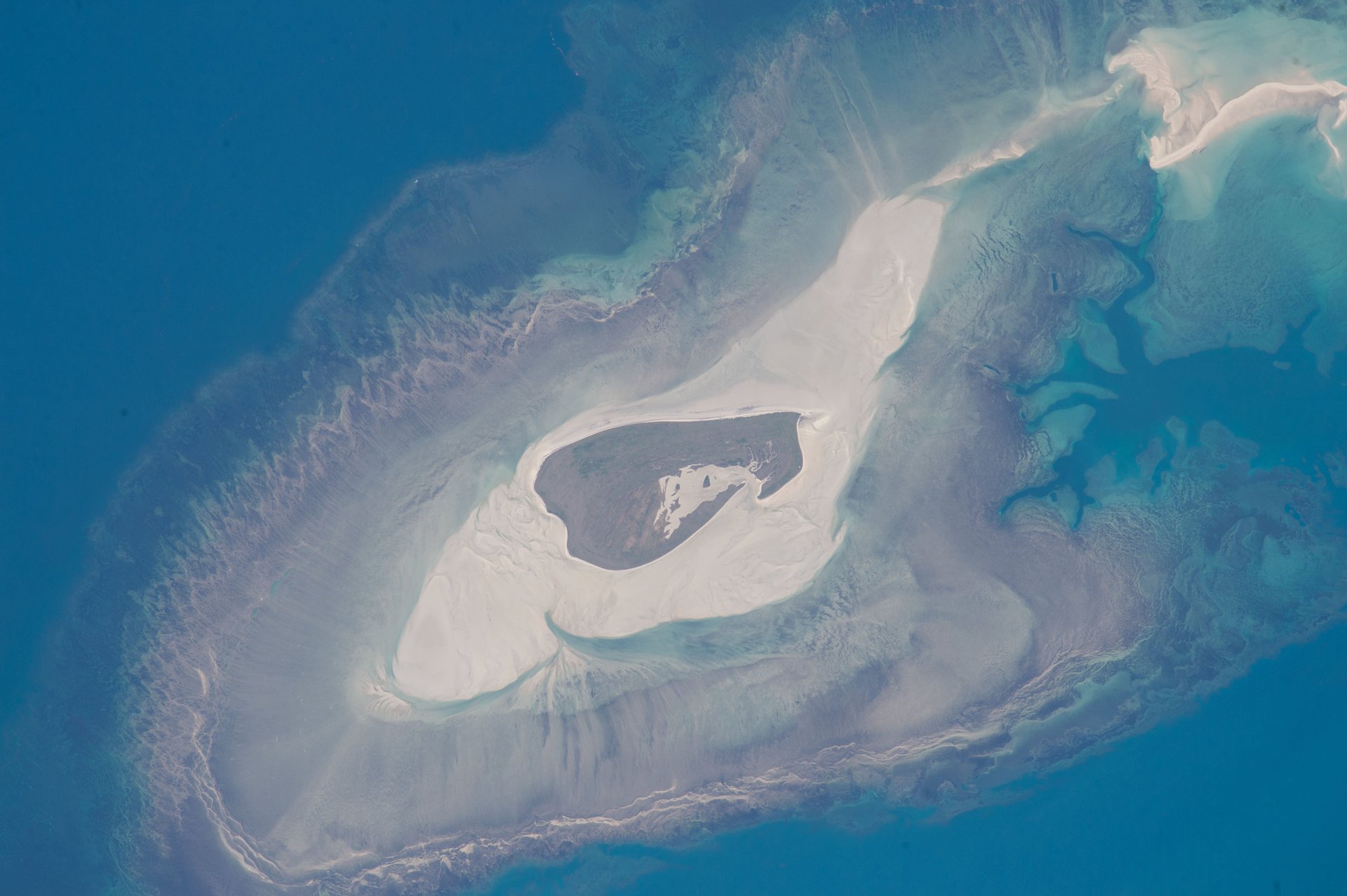
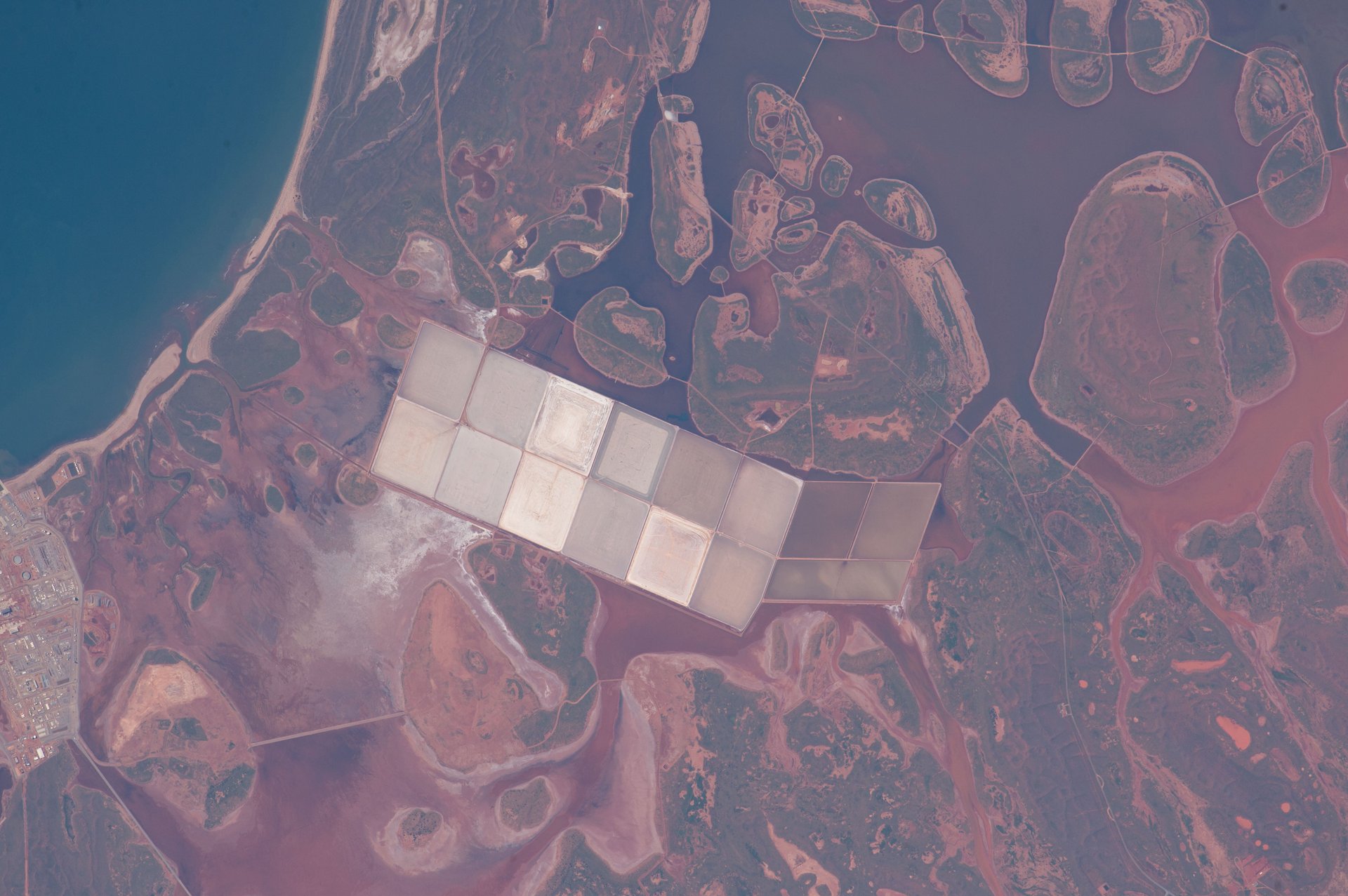
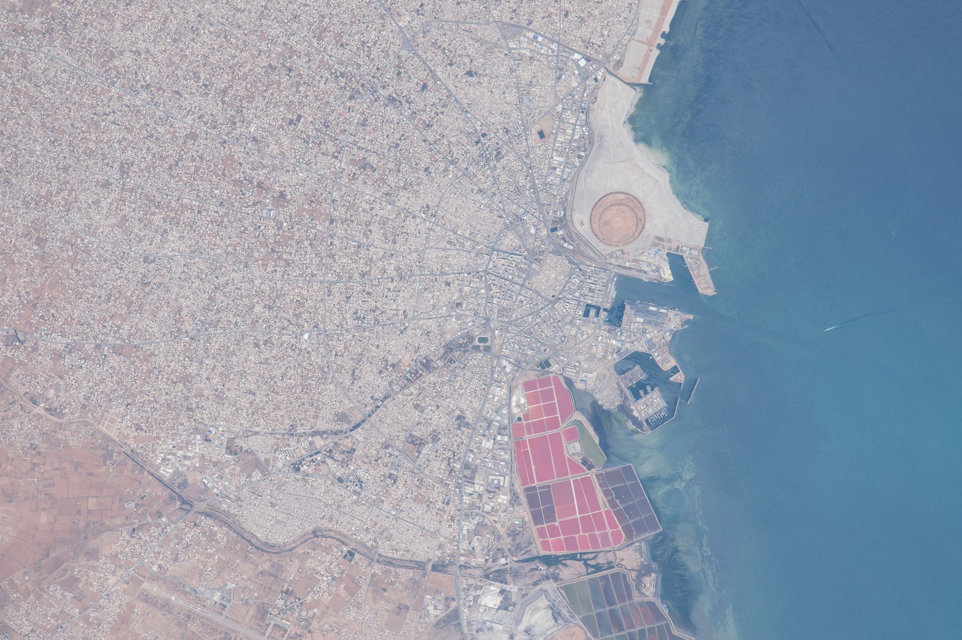
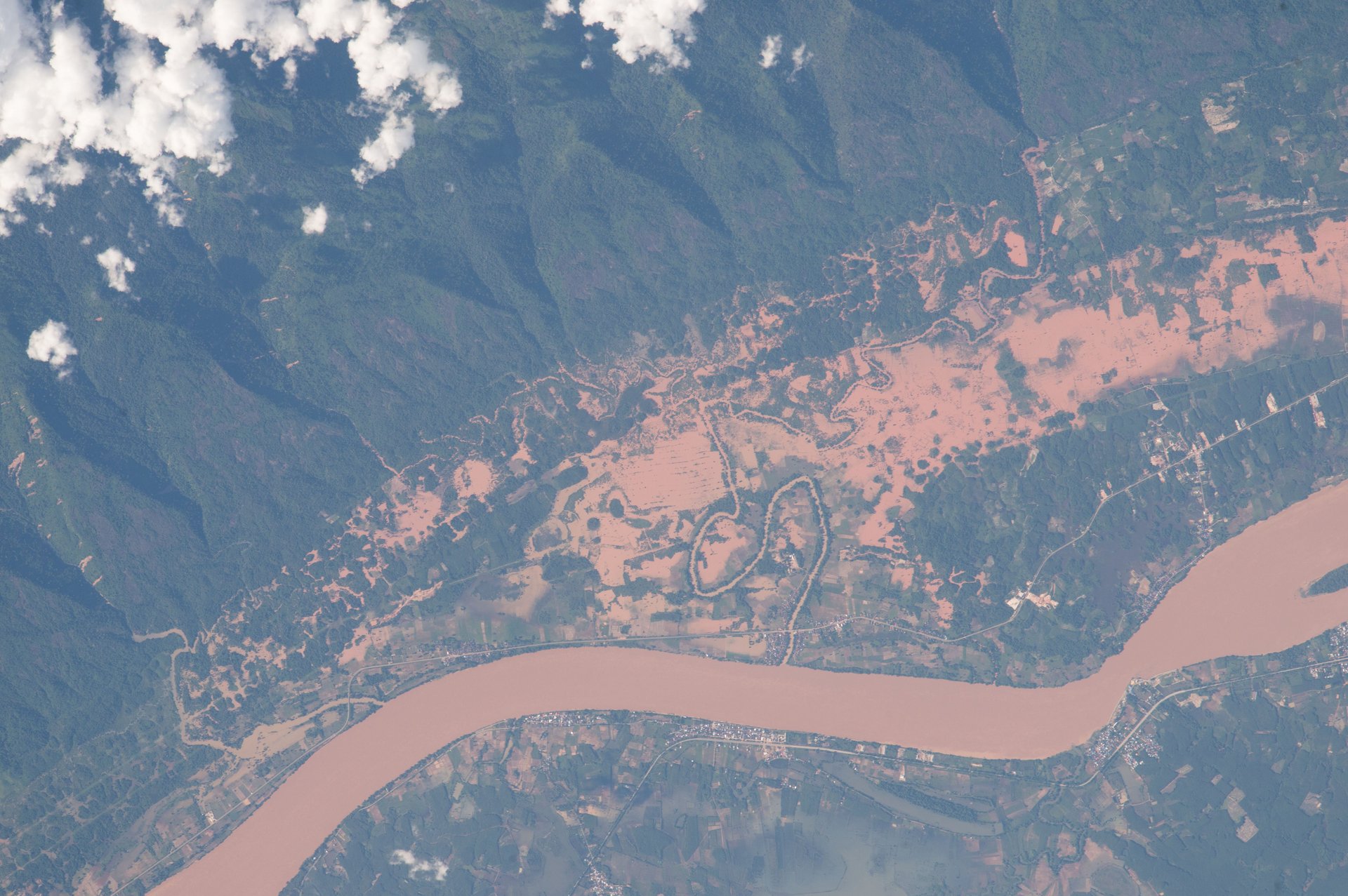
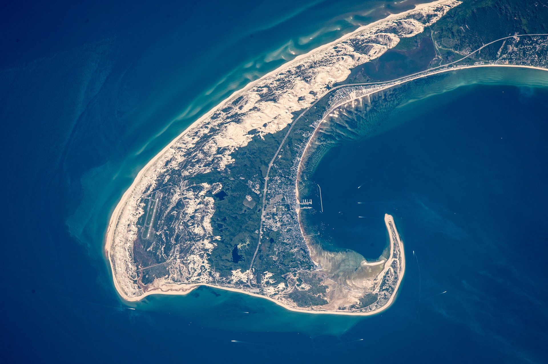
Nothing is quite as humbling as the sight of Earth from above. Viewed from the International Space Station, areas of disputed land shrink to tiny cracks, while entire nations are no bigger than quarters.
A red sprite above the white light of an active thunderstorm (image top left). Expedition 44: August 10, 2015Image: Courtesy of NASA.
2. Aquaculture, northeast China
A grid pattern of fish farms on the coast of China’s northeast province of Liaoning. Expedition 44: September 6, 2015Image: Courtesy of NASA.
3. India-Pakistan border at night
Nighttime panorama looking north across Pakistan’s Indus River valley. Expedition 45: September 23, 2015Image: Courtesy of NASA.
4. Lake Chad and a Sahara dust plume
The arid landscapes of the Sahara and the darker vegetation of the wetter, semi-arid woodland known as the Sahel. Expedition 42: February 2, 2015.Image: Courtesy of NASA
5. Volcanoes and vortices, Hawaii
Hawaii’s Kilauea volcano (image left) with the long swirls of volcanic gases (top half of the image) wafting west from the volcano. Expedition 42: February 8, 2015.Image: Courtesy of NASA
6. Sierra Nevada de Santa Marta, Colombia
A dramatic view of the many peaks of Colombia’s Santa Marta massif. Expedition 42: February 27, 2015.Image: Courtesy of NASA
7. Scandinavia at night
Southern Scandinavia just before midnight under a full moon. Expedition 43: April 3, 2015.Image: Courtesy of NASA
8. Brown water, Argentina
The eye-catching delta and green swamps of the Paraná River (image left) on the Atlantic coast of Argentina. Expedition 43: April 6, 2015.Image: Courtesy of NASA
9. Rivers and snow in the Himalayas, China and India
The Himalaya range, near the China–India border, where peaks cast strong evening shadows on the snow. Expedition 43: April 8, 2015.Image: Courtesy of NASA
10. Laguna Colorada, Bolivia
The brightly colored Laguna Colorada, unique in this part of the Bolivian Andes Mountains. Expedition 43: April 16, 2015.Image: Courtesy of NASA.
11. Adele Island, northwest Australia
A tiny island with many concentric zones around it. Adele Island, off Australia’s north coast. Expedition 44: June 11, 2015.Image: Courtesy of NASA.
12. Salt Ponds, western Australia
Coastal lagoons with numerous rounded islands are typical of the Indian Ocean coastline of Western Australia. Expedition 44: June 11, 2015.Image: Courtesy of NASA.
13. Cape Cod, Massachusetts
The northern tip of Cape Cod—showing 8.5 miles (14 km) of its 65-mile (105 km) length. Expedition 44: June 13, 2015.Image: Courtesy of NASA.
14. The port of Sfax, Tunisia
The radiating street pattern of Tunisia’s second city and major port of Sfax (population ~900,000), which also hosts Tunisia’s largest fishing fleet. For scale the fishing port is 1.1 km long. Expedition 44: June 19, 2015.Image: Courtesy of NASA.
15. Flooding on the Mekong River floodplain, Thailand and Laos
The Mekong River on the border between Thailand and Laos. Expedition 44: August 8, 2015.Image: Courtesy of NASA.
📬 Sign up for the Daily Brief
Our free, fast, and fun briefing on the global economy, delivered every weekday morning.