Amateur archaeologists are finding lost Roman roads using lasers
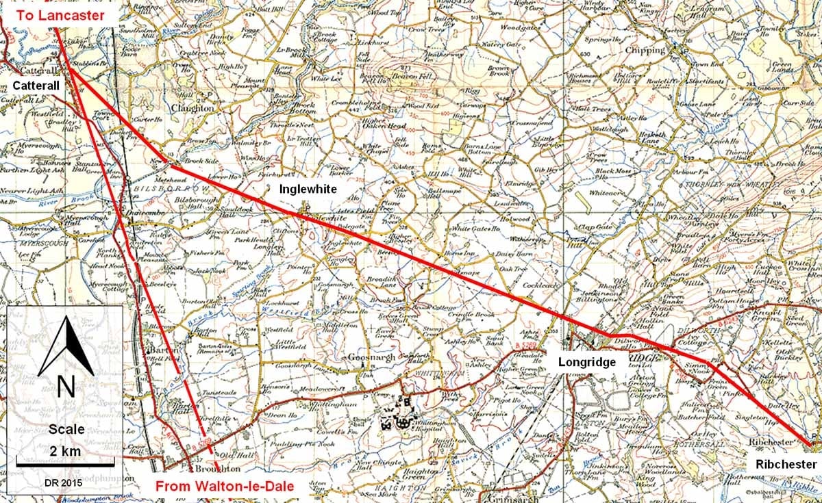
“Latest News – NEW ROAD DISCOVERED,” reads David Ratledge’s page on the Roman Roads Research Association. “After only 45 years of searching, I have at long last found the Roman Road from Ribchester to Lancaster!”


“Latest News – NEW ROAD DISCOVERED,” reads David Ratledge’s page on the Roman Roads Research Association. “After only 45 years of searching, I have at long last found the Roman Road from Ribchester to Lancaster!”
Ratledge, an amateur archaeologist, has indeed been looking for evidence of Roman roads in Lancashire, England for 45 years. He has the UK Environment Agency’s lasers and open data policy to thank for his new discovery, which came in January.
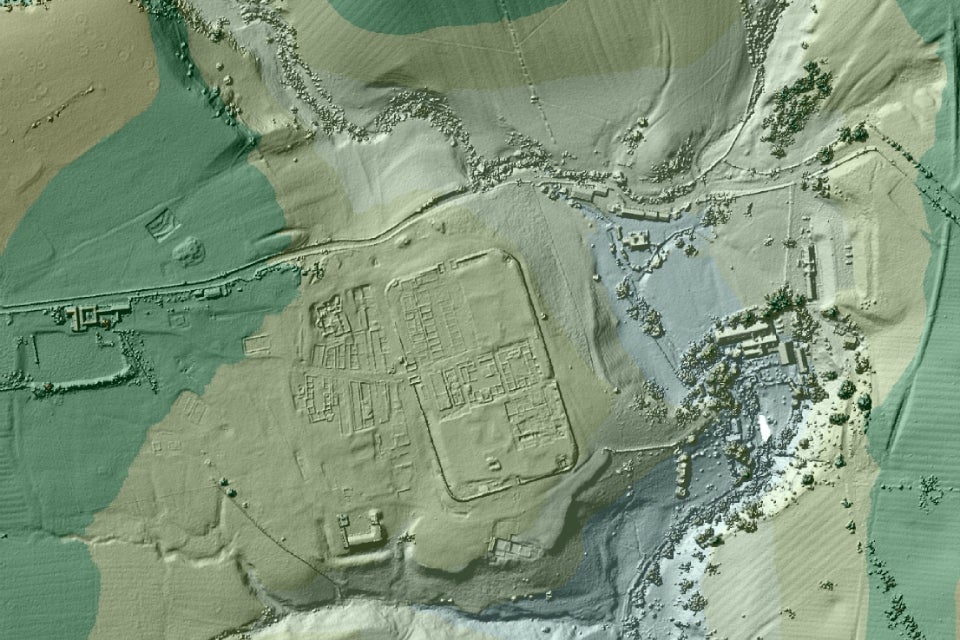
The agency uses lidar technology—which is kind of like laser radar—to scan the English landscape, producing ultra-high-resolution elevation maps used for flood modeling and coastline tracking. (Lidar is also the technology that driverless cars use to get a 3D picture of what is around them.) The UK makes its lidar data publicly available, allowing researchers with more esoteric interests, like Ratledge, to look for trends outside the government’s mandate.
“How did the Romans get from Ribchester to Lancaster?” Ratledge asked on a page dedicated to his new road discovery. “These were the county’s most important Roman sites so good communications between them must have been essential.” The answer that had eluded him was provided by lasers, which revealed a route almost 2,000 years old.

“The road takes a very logical and economical route to join the main north-south road at Catterall and hence on to Lancaster,” Ratledge wrote. Other evidence supports the route revealed by lidar, such as “a previously known Roman milestone adjacent to the route.”
Academic archaeologists have discovered four other “lost” Roman roads, the Environment Agency said in a press release last week, and several others are being looked in to.

The discovery is no doubt fascinating from a historical point of view, but it is also a solid reminder that governments should be releasing more of their data to the public. Had the UK determined that its lidar data were too sensitive to release, or if it hadn’t done the work of making sure it was in an easily useable format, the Roman roads would probably remain lost.
You can even play with the lidar data yourself: here’s a helpful tutorial.