
Kim Jong-un, the North Korean strongman, was pleased as punch on May 14 when his country shot a missile some 2,000 km (1,240 miles) into the air. The exercise may have demonstrated his country’s ability to launch nuclear weapons at targets like the US military base on the Pacific island of Guam, but it leaves a critical question: When will North Korea have a missile capable of carrying a nuclear warhead to the United States?
We may be closer to knowing the answer thanks to the growing firehose of data from satellite companies like DigitalGlobe and Planet, which in the last decade have given security analysts at universities and think tanks incredible capability—more than the US had at the height of the Cold War—to analyze the large-scale engineering programs that produce weapons of mass destruction.
When China began developing nuclear weapons in 1958, the US government was naturally nosy. It sent U-2 spy planes winging over Lanzhou, China, to scope out a uranium-enrichment plant there. Analysts looking at the pictures (pdf) figured the facility was still too small to be producing enough to power a nuclear weapon; they also assumed China would use plutonium. Those analysts were surprised when China’s first atomic bomb, tested in 1964, used uranium produced at Lanzhou.
“We can make fun of them, but they had three pics of the thing taken from airplanes over the course of three years. It’s kind of incredible that they did as well as they did with the poverty of information that they had,” Jeffrey Lewis, the director of the East Asia non-proliferation program at the Middlebury Institute of International Studies. “Open-source analysts have way more information today than people had on the classified side in the ’60s and ’70s.”
Lewis, who began his career in the 1990s, said the information revolution has vastly changed the way the public can understand and evaluate government decisions. During the Cold War, independent analysts were essentially relying on the information they could garner from friends in government, newspapers, or declassified documents.
While classified government satellites are still believed to outstrip the imaging power of commercial-imaging technology—in part due to legal restrictions on commercial devices—the internet and the trove of commercial-satellite data that is available make it possible for Lewis and his colleagues to track the program independently, and even dispute official sources.
Last year, for example, US intelligence analysts said an attempted missile test was performed by medium-range missiles that could not reach the United States. But, because the tests failed, military radar couldn’t measure their flights in an effort to ID their capabilities. Lewis and his colleagues, examining photos provided by the company Planet, were able to compare the ground damage caused by the rockets and estimate that they were much larger—and therefore from a rocket capable of longer-range travel than the official estimates suggested.
That usefulness of Planet’s imagery surprised Lewis. Analysts are eager for the best view possible. In satellite imagery terms, that means a resolution of about one meter per pixel. Planet, which relies on many small, cheap satellites rather than large, expensive ones, generally captures imagery at a three- or five-meter-per-pixel ratio. (The growing company recently acquired Terra Bella, a satellite company whose constellation promises to provide one-meter resolution to Planet’s customers.)
But Planet’s strategy allows it to photograph locations far more often than other companies, giving a more a dynamic picture. The analysis of the burn scars depended on photographs captured on consecutive days around the test.
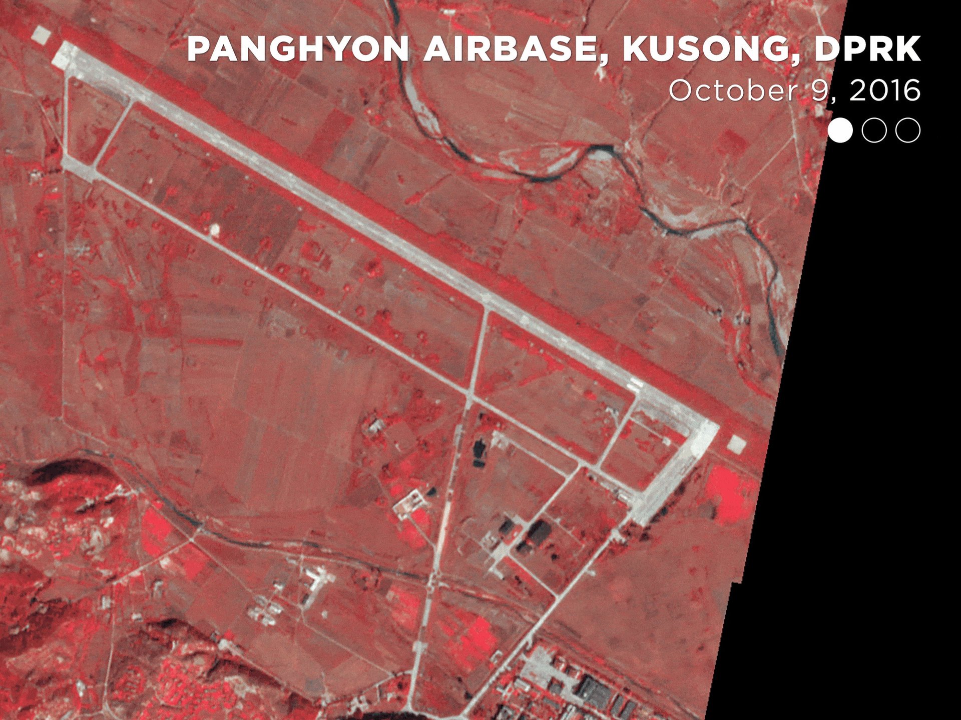
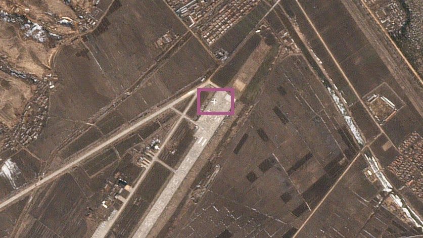
North Korea’s missile arsenal is designed to take off from mobile launchers, to better hide from prying eyes and surprise adversaries. That makes gathering clues about their tests from space even trickier. But analysts can combine their god’s eye view with careful analysis of North Korean propaganda photos and a technical understanding of how missiles and nuclear weapons are developed. Lewis is already fairly certain that the most recent missile to be launched was a model debuted during a closely watched military parade last month. To understand the underground nuclear tests performed by the regime, they used satellite measurements to construct a 3-D map of the mountain where they are performed in an effort to better understand the yield of the explosions.
Analysts also understand the human nature of Kim’s regime, and the mercurial dictator himself. Because Kim often views the launches personally for propaganda purposes, the analysts attempt to track him, even spotting what they suspected to be his private plane before a recent test.
While they can’t prove it, Lewis and his colleagues think that the North Koreans know they are tracking Kim. In recent tests, they have made more of an effort to camouflage his location. Still, David Schmerler, another Middlebury analyst, managed to foil one attempt to hide the location of a different missile test by carefully comparing road signs in propaganda photos to film uploaded to YouTube by Chinese tourists, ultimately pinpointing the test site on a map.
One result of this proliferation of data has been over-analysis. Ahead of expected nuclear tests in April, satellites captured images of North Koreans apparently playing volleyball at a key development facility. Some independent analysts wonder if this was a sign that the test would be delayed, or that a tactical pause was underway.
That may be overthinking it, Lewis says.
“The conclusion I draw is, it is an active nuclear weapons test site and there is stuff going on there all the time,” he says. ”On a broad level, we should be expecting tests at the site every year for the foreseeable future. They are working, sometimes they are eating, they are playing volleyball, I presume sometimes they are using the toilet.”
(That last is a reference to the famous U-2 photograph of a Soviet soldier in a latrine during the Cuban missile crisis.)
Another satellite-driven theory is that North Korea is building new missile test sites on its coastline. But Lewis says that this project is simply a standard land-reclamation effort used for agricultural purposes, not missile test sites.
“You can see in the last 15 years this breakwater that they’ve constructed, where these quote-unquote islands are located has been gradually filled in with land and been farmed,” he says, sharing a comparison he made of satellite images of the development from 2003 and 2017 (use the slider to see the change over time):
Independent analysis of nasty threats abroad is already changing the way the US goes to war, particularly thanks to recent experience.
“It changes people’s expectations,” Lewis says of the use of space imagery, citing attempts by the Obama administration to gather support for a strike on Syria after the regime there used chemical weapons. ”I think the Syrians totally did it, but one thing that I noticed was that the dossiers released by the US and UK and France in order to make the public case very much looked like the pre-Iraq war dossiers…those things went over like a lead balloon.”
The new generation of satellite companies has been operational for just a few years; the US government only allowed DigitalGlobe to sell its most high-resolution images in 2014. As more companies launch satellites and develop tools to analyze the data, it will be increasingly hard to hide from internet-enabled scrutiny in the sky.
Companies are beginning to develop synthetic aperture radar imagery from space, which can see through clouds and even buildings, and promises ever-richer data. Lewis is excited about the possibility of space-based “hyperspectal imaging,” a technology that gathers data on beyond what human eyes can see and is capable of identifying specific materials.
North Korea is likely to win its race to develop a nuclear-armed missile that can reach the US. Even its failed tests, though widely mocked, are valuable in that they provide North Korea’s engineers with important data for the construction of the next vehicle. The urges to hope for further failure are, Lewis speculates, “defense mechanisms, that I think help us avoid confronting an unpleasant reality.” His assessment is that underestimating the North Korean weapons program, as the US did with the Chinese, would be a mistake.
Independently gathered imagery of what’s happening may make it easier for everyone to come to terms with what we’re seeing.