Photos: Now we can see what Harvey’s destruction looks like from above
Houses in Northwest Houston, Texas.
Image: Reuters/Adrees Latif
By
Johnny Simon
We may earn a commission from links on this page.
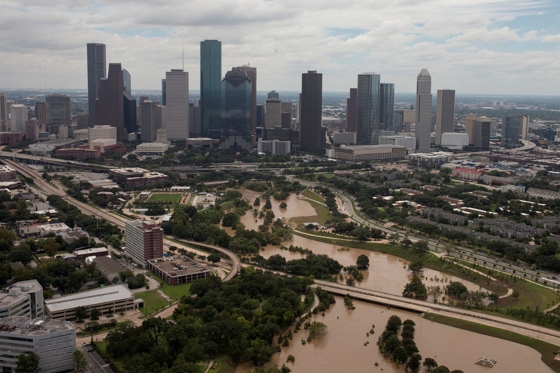
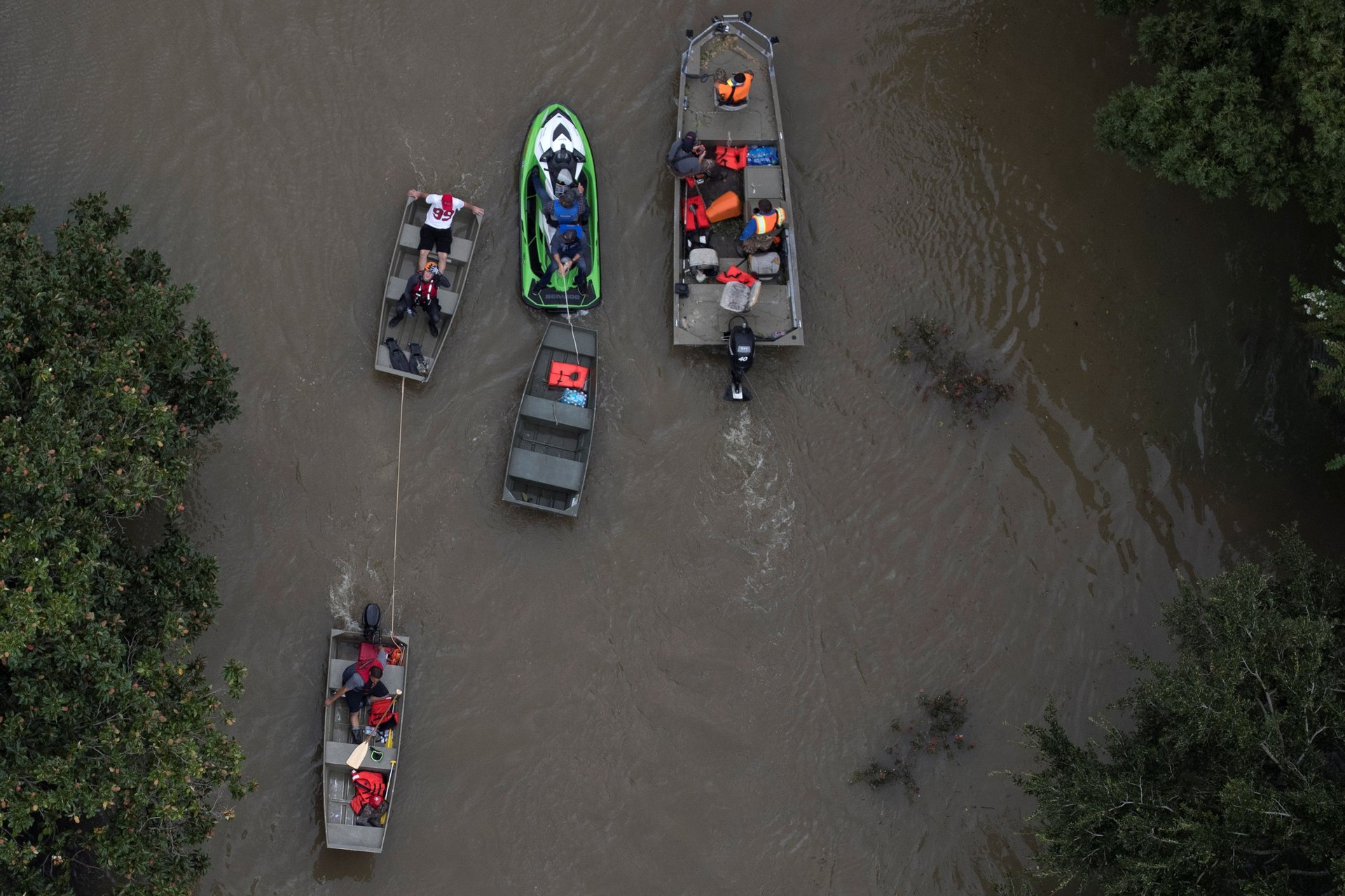
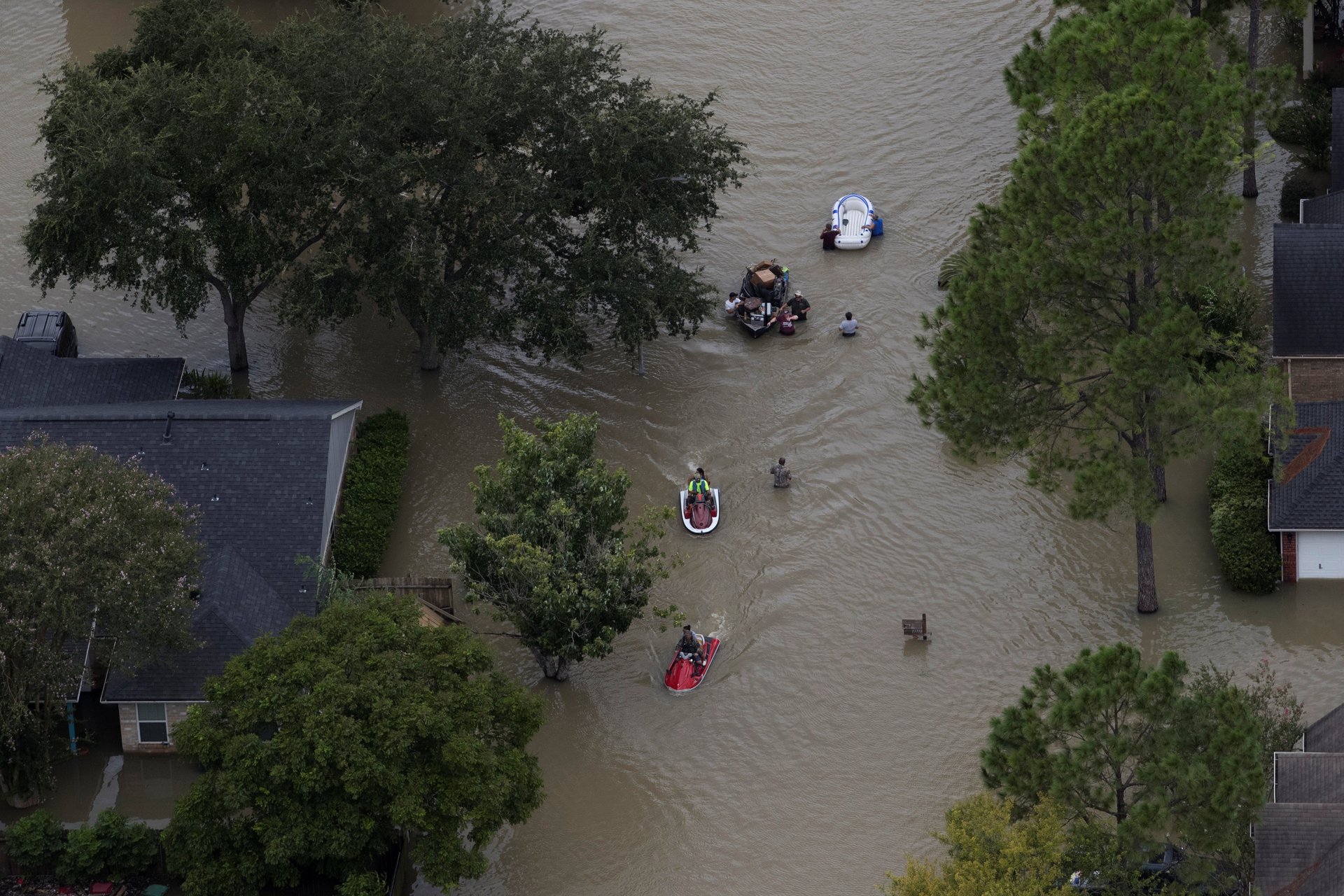
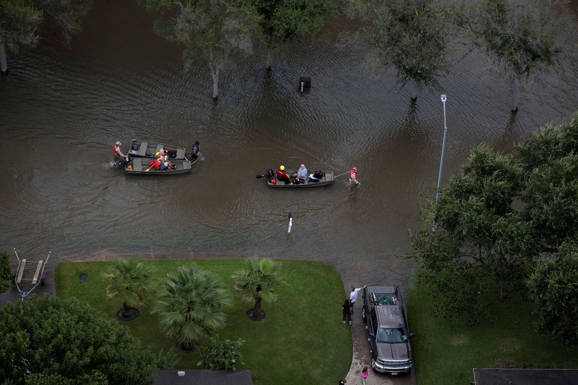
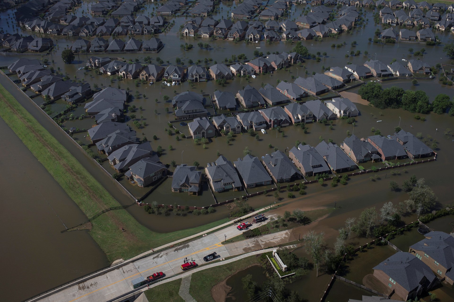
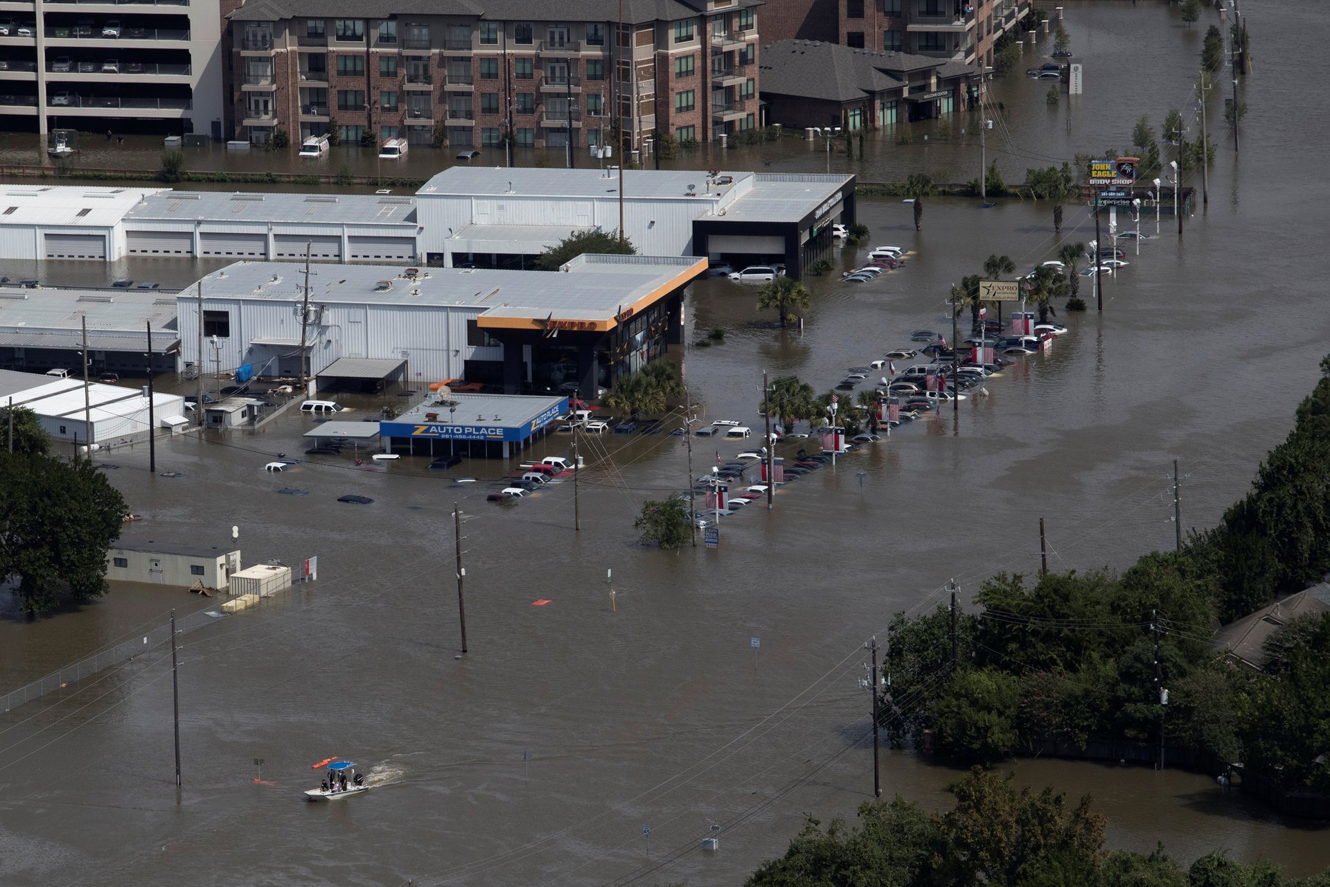
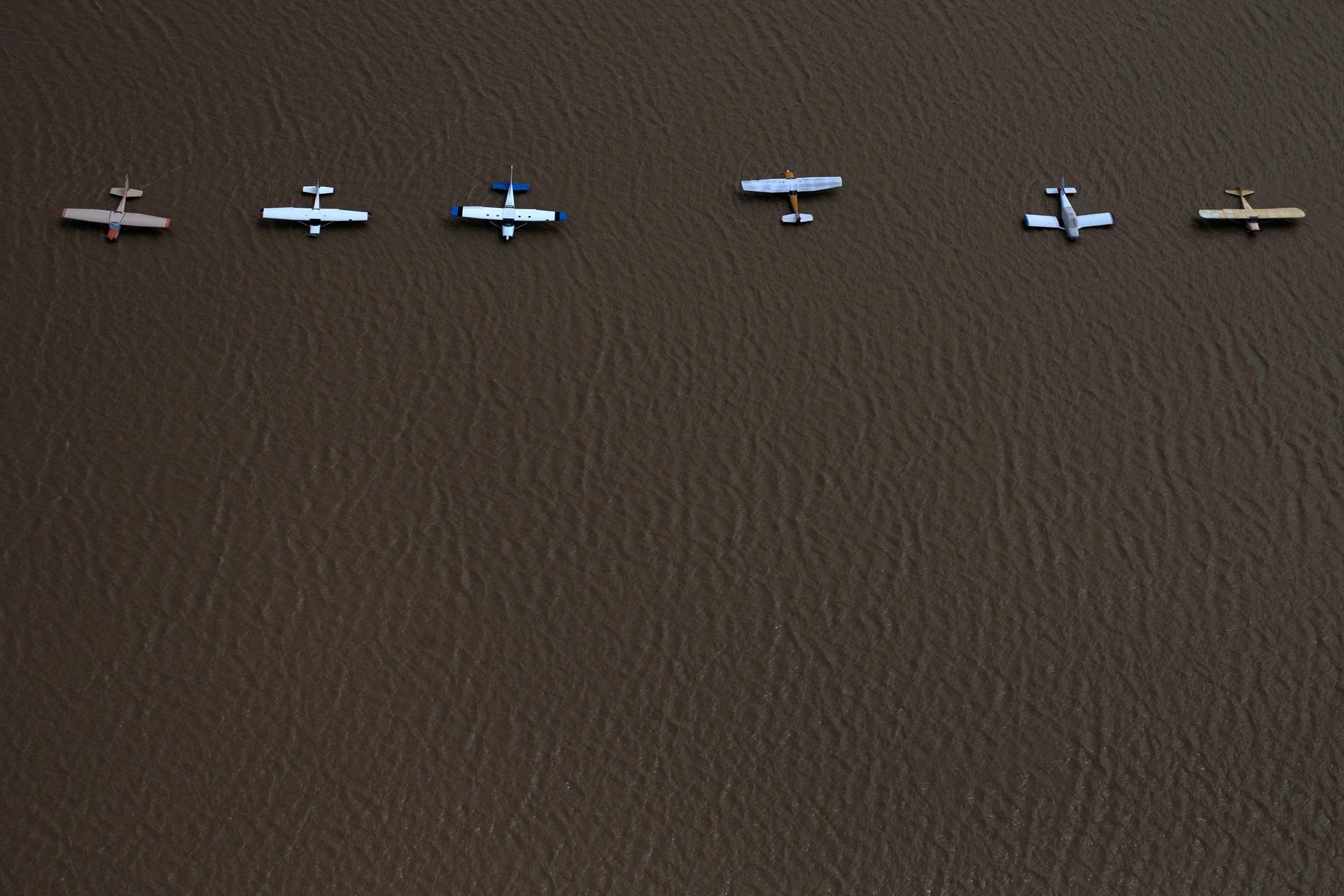
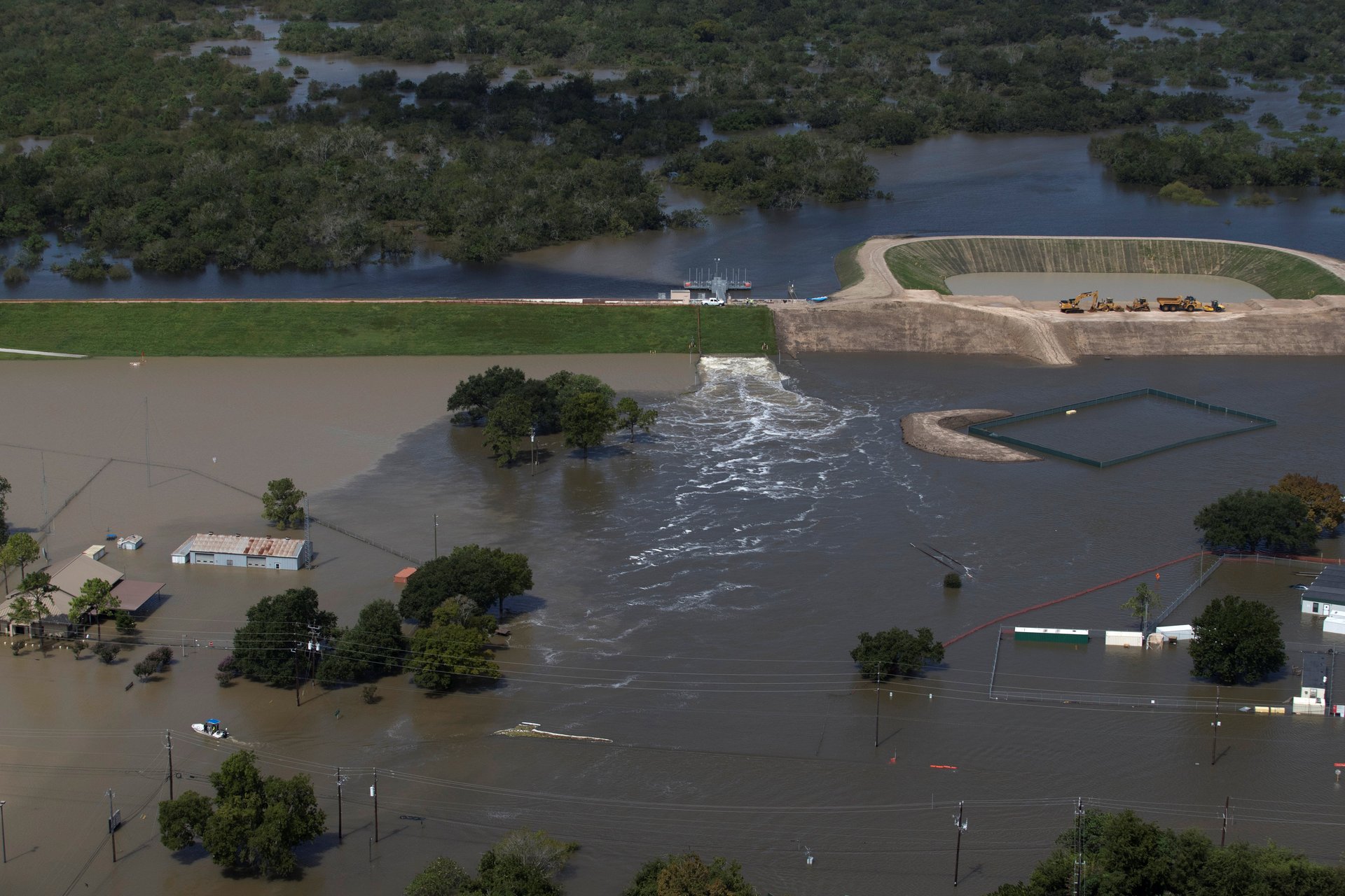
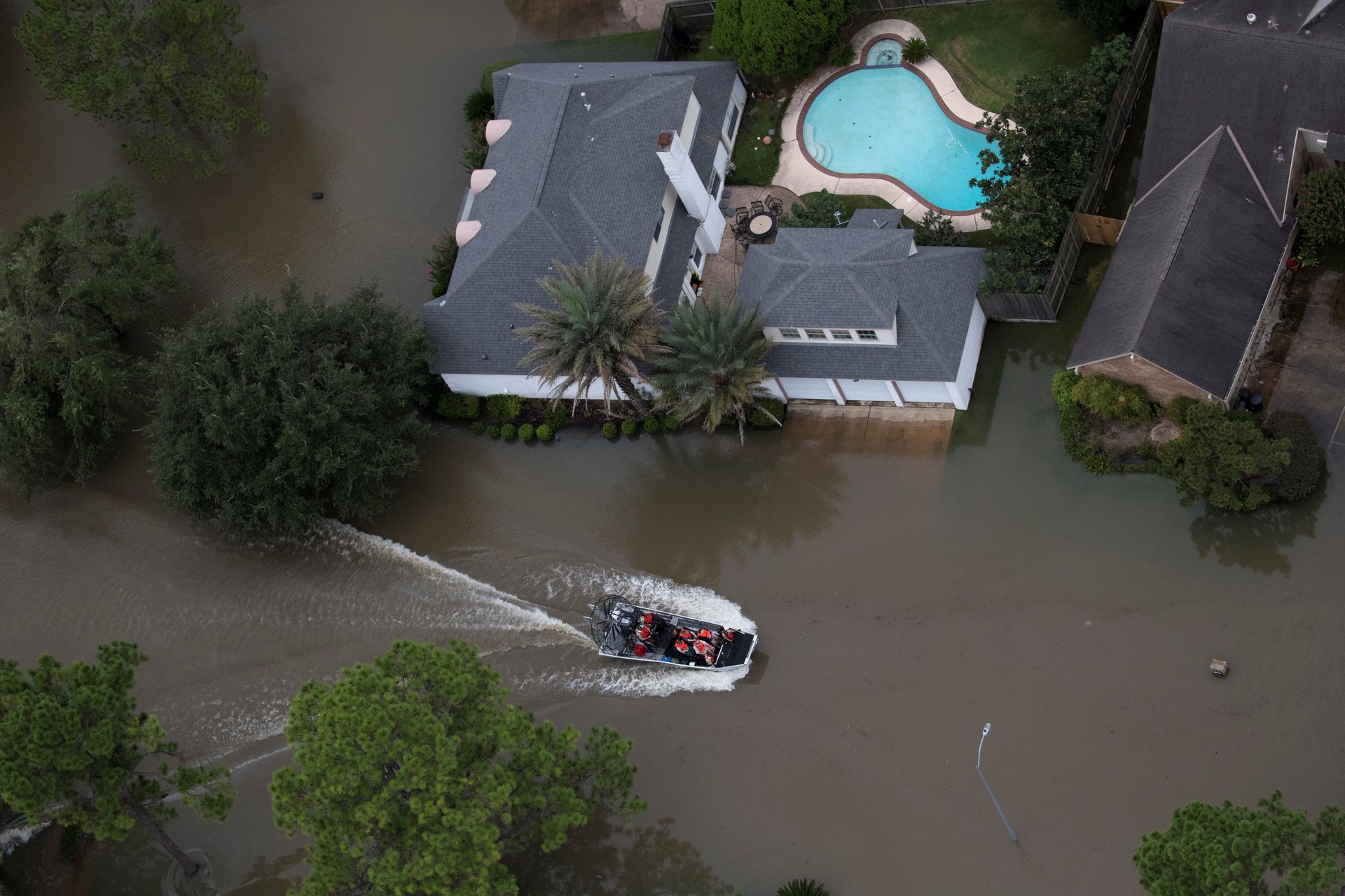
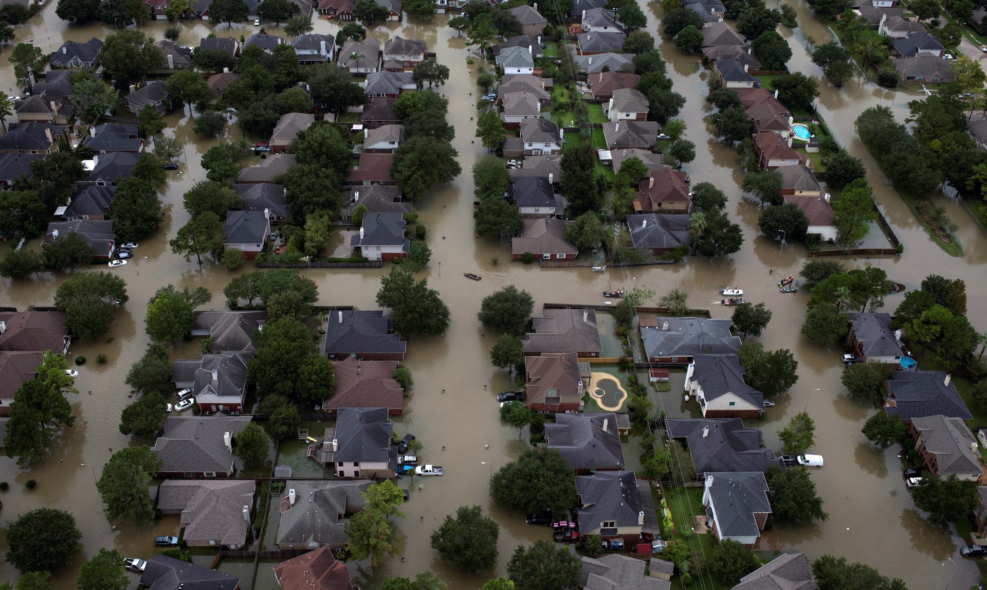
It will be be weeks and months before the scale of damage from Harvey is fully known, but new aerial photos from Reuters photographer Adrees Latif show just how the flooding has transformed the landscape of Houston, Texas.
Large portions of the city are still underwater, with many residents in need of evacuation. As flooding levels drop, the destructive effects are starting to be assessed.
The Houston skyline is behind the flooded Buffalo Bayou on Aug. 30.Image: Reuters/Adrees Latif
Residents evacuate a neighborhood left flooded by Tropical Storm Harvey in West HoustonImage: Reuters/Adrees Latif
Residents are evacuated in Northwest Houston.Image: Reuters/Adrees Latif
Residents are evacuated through flood waters in West HoustonImage: Reuters/Adrees Latif
Emergency personnel stand at the entrance to a neighborhood flooded by Tropical Storm Harvey in Southwest Houston.Image: Reuters/Adrees Latif
A boat looks for evacuees in West Houston.Image: Reuters/Adrees Latif
Planes are surrounded by flood waters caused by Tropical Storm Harvey at the West Houston Airport.Image: Reuters/Adrees Latif
Water is released from the Barker Reservoir in West Houston.Image: Reuters/Adrees Latif
Residents are evacuated through flood waters in West Houston.Image: Reuters/Adrees Latif
Houses in Northwest Houston, Texas.Image: Reuters/Adrees Latif
📬 Sign up for the Daily Brief
Our free, fast, and fun briefing on the global economy, delivered every weekday morning.