There is a reason September is known as the heart of hurricane season.
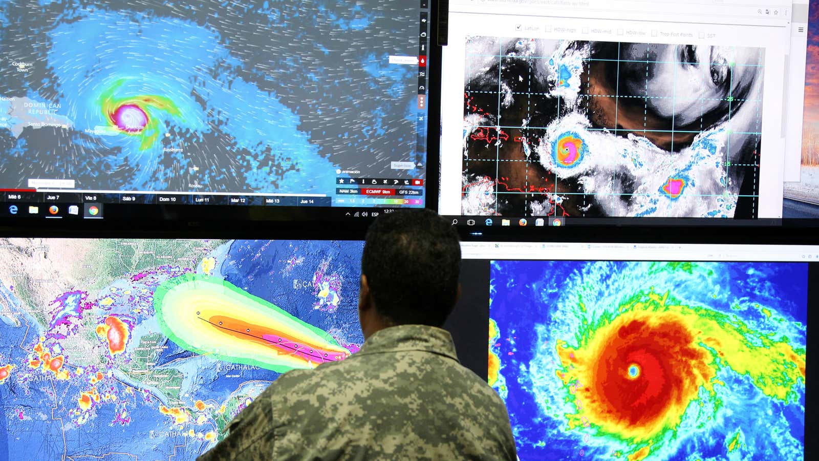
As of today (Sept. 6), there are three major storms raging in the warm waters of the Caribbean and the Gulf of Mexico. Hurricane Irma has been gaining strength in the Caribbean for over a week. With sustained winds of 185 miles per hour, the storm is the strongest hurricane ever recorded in the Atlantic.
Hurricane Irma is not alone. Two other storms, Tropical Storm Jose and Tropical Storm Katia, are right behind. Check out this storm tracker from WNYC to monitor the progress of all three (you can switch between storms by selecting the name of the storm on the top left).
[protected-iframe id=”ab08c54e2a84c6a7062730434cb336ec-39587363-95155909″ info=”https://project.wnyc.org/hurricane-tracker/index.html?year=2017&storm=irma” width=”100%” height=”760″ frameborder=”0″ scrolling=”no”]
Hurricanes need the energy from the warm, humid air above tropical oceans (which are warmest at the end of the summer) to keep up their strength. A hurricane begins as a tropical storm, when winds coming from different directions converge. Warm air rises around the storm’s center and cools, and the moisture condenses to form clouds and rain. Condensation releases latent heat, which powers hurricanes. If the layer of warm water isn’t at least 200 feet deep, a tropical storm could die before gaining hurricane strength.
Irma is still the storm with the potential to cause the most impact—Jose may not hit land and Katia is relatively stationary.
Tropical Storm Jose
Jose, the 10th named storm of the 2017 Atlantic hurricane season, is right behind Irma, around 1,000 miles east of the Lesser Antilles as of 11am eastern time. Jose has had maximum sustained winds around 60 mph, though forecasters expect it will be upgraded to a hurricane by tonight.
Jose is expected to gain strength in the Caribbean and move west. By the weekend, Jose is predicted to slow down and turn northwest, though there is a chance it will hit the northern Lesser Antilles later this week, where Irma now rages. Jose’s proximity to Irma could actually be beneficial though, as the outflow of winds from the hurricane could rip apart some of tropical storm in a process known as shearing, which keeps storms from intensifying.
The US National Hurricane Center (NHC) has not released a hurricane watch or warning yet for Jose, saying authorities in the Lesser Antilles should “monitor the progress” closely.
Update 4:50pm: With maximum sustained winds of 75 mph, the National Hurricane Center has upgraded Jose to a hurricane.
Tropical Storm Katia
Katia is strengthening in the southwestern Gulf of Mexico. Katia started as a tropical depression (with maximum sustained winds below 39 mph) and strengthened into a tropical storm today. The NHC forecasts Katia will become a hurricane.
The storm is expected to move very little overall and remain offshore through Friday. Katia could hit southeastern Mexico by the weekend. Luckily, Hurricane Harvey relief zones should be safe from Katia, as a large swath of dry, sinking air over Texas and Louisiana will keep the system from moving northward. Mexico will experience heavy rainfall and increased risk of flash floods and mudslides, most likely in the southern part of the state of Tamaulipas and northeastern part of Veracruz.
The NHC has not yet issued a hurricane warning or watch for Katia but could issue one for parts of Veracruz later today.
Update 5:00pm: With maximum sustained winds of 75mph, National Hurricane Center has upgraded Katia to a hurricane. The government of Mexico has issued a Hurricane Watch for the coast of the state of Veracruz from Tuxpan to Laguna Verde.
