This post has been updated.
Here is the latest on the three storms swirling around the Caribbean and the Gulf of Mexico:
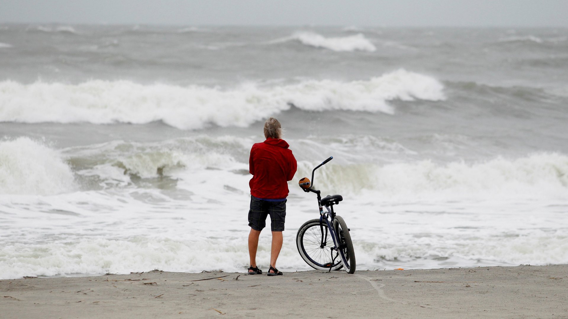
Hurricane Irma is expected to make landfall by daybreak in the Florida Keys on Sunday.
Irma’s record 185 mile per hour winds broke the record for the longest-ever time a tropical cyclone has maintained that level of strength. Hurricane Jose is still a dangerous category 4 hurricane, and now Katia has weakened to a tropical depression, though heavy rainfall will continue.
Here is a great tool from WNYC to monitor the progress of Jose and Katia, along with Irma (you can switch between storms by selecting the name on the top left).
[protected-iframe id=”ab08c54e2a84c6a7062730434cb336ec-39587363-95155909″ info=”https://project.wnyc.org/hurricane-tracker/index.html?year=2017&storm=irma” width=”100%” height=”760″ frameborder=”0″ scrolling=”no”]
Jose, the 10th named storm of the 2017 Atlantic hurricane season, is right behind Irma, with maximum sustained winds around 145 mph.
On Saturday morning, Jose was about 120 miles east of the Leeward Islands. The eye is forecast to travel just north of Barbuda and Anguilla, which have already been devastated by Hurricane Irma, on Saturday afternoon, though the islands will still experience heavy winds and storm surge. After Anguilla, forecasters expect Jose will turn east back towards the ocean, so Jose will not make the same land impact as Irma—though its rains could worsen any ongoing flooding on islands already hit.
Katia was downgraded a tropical storm, and then a depression early Saturday morning. NOAA issued its last advisory for the storm at 10am on Saturday. The “remnants of Katia” are moving southwest slowly about 150 miles south of Tampico, Mexico, with maximum sustained winds of 35 mph. There are no hurricane watches or warnings in effect right now.
Katia is expected to produce 3 – 6 inches of rainfall in the Mexican states of Veracruz, eastern Hidalgo, and northern Puebla Saturday afternoon, possibly 8 inches in some parts. NOAA still warns of the risk of life-threatening flash floods and mudslides, especially in the mountains.
Katia was never major a threat to Harvey relief zones, because of the large swath of dry, sinking air over Texas and Louisiana would have keep the system from moving north. Now that the storm has been downgraded, Texas will definitely stay dry.
Areas likely to be hit by Jose are in the midst of recovery from Irma, with most of the Caribbean still without power or strong broadband access. The islands of Antigua and Barbuda are offline almost entirely. Here is a list of webcams located in Jose’s predicted storm area, should any make it back online:
Here are some webcams in Mexico located in the Katia storm area: