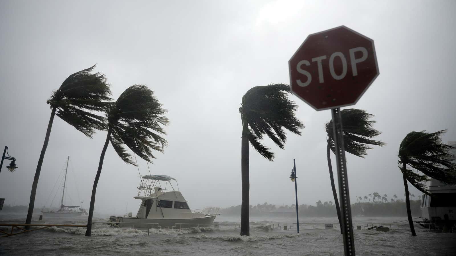
Hurricane season isn’t over yet.
Tropical Depression 16 formed this morning (Oct. 4) in the southwestern Caribbean Sea. The National Hurricane Center forecasts it could hit Florida as a hurricane on Sunday.
The depression, located about 45 miles west-southwest of San Andres Island off the coast of Nicaragua, has had maximum sustained winds of 35 mph.
The government of Nicaragua has issued a tropical-storm warning for the coast from Sandy Bay Sirpi north to the Honduras border. Honduras has issued a warning for the coast from Punta Castilla east to the Nicaraguan border.
The forecast for Tropical Storm Nate
Depression 16 is forecast to continue move northwest at about 7 mph and become Tropical Storm Nate by tonight. The storm is expected to approach the coast of Nicaragua Thursday, move across the country to eastern Honduras by the end of the day, and emerge into the northwestern Caribbean Sea early Friday.
The latest forecast map from the NHC shows Nate nearing Florida’s northwestern coast early Sunday. The center predicts the storm will hit land near Tallahassee, which managed to escape the worst of Hurricane Irma’s devastation last month.
A very active hurricane season
We are in the middle of a particularly active hurricane season. In September, for the first time in recorded history, three hurricanes in the Atlantic simultaneously threatened land. Hurricane Irma broke dozens of meteorological records. By mid-September, the total number of named storms in the Pacific and Atlantic was pacing ahead of the previous busiest hurricane seasons—2012 and 2005.
The high hurricane activity this year isn’t entirely unexpected: Weather experts predicted the 2017 Atlantic season would have more named storms than usual because of a combination of a weak El Niño, above-average ocean-surface temperatures, and weaker vertical wind shear.
There’s a little under two months left in this year’s hurricane season, which ends Nov. 30.
The context of global warming
Climate activists say now is the time to talk about climate change. Warmer ocean temperatures, not necessarily increasing the total number of storms, are almost certainly magnifying their destructive potential, making them more powerful for longer periods of time. Hurricanes need the energy from warm, humid air above tropical waters to keep up their strength. Warm air rises around the storm’s center and cools, and the moisture condenses to form clouds and rain. Condensation releases latent heat, which powers hurricanes. Warm air can also hold more moisture, which means more rain, and more floods.
How to track Tropical Storm Nate
You can track the progress of Depression 16 as it forms into Tropical Storm Nate using this helpful tool from WNYC, by selecting the storm name in the top left:
[protected-iframe id=”04d00e7c04bfe80a67ba8b721f71fc25-39587363-95155909″ info=”https://project.wnyc.org/hurricane-tracker/index.html?year=2017&storm=sixteen” width=”100%” height=”760″ frameborder=”0″ scrolling=”no”]
