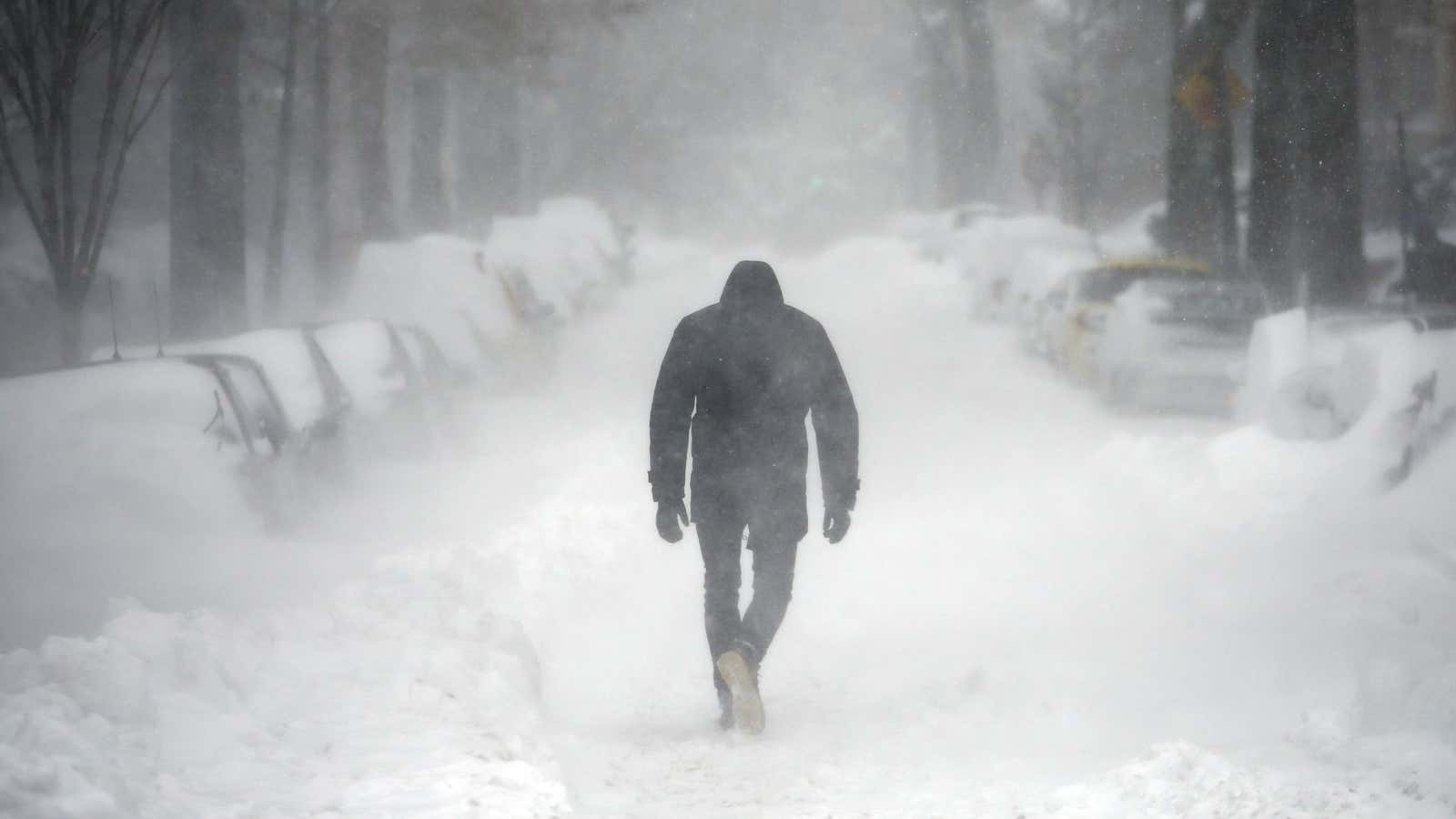
A massive winter storm that will “in many ways resemble a hurricane” is expected to hit the East Coast of the US, bringing heavy snow and some of the coldest temperatures in more than a century.
Weather experts predict it will become a “bomb cyclone” because the system’s pressure is expected to fall very rapidly and create one of the most intense winter storms the US has seen in decades.
The National Weather Service (NWS) has issued winter-storm watches in warnings for the entire East Coast, from Florida to Maine, with the impact to be felt tonight (Jan. 3) and tomorrow.
What makes a bomb cyclone so powerful?
A bomb cyclone forms as a result of bombogenesis, also called explosive cyclogenesis, which describes how the pressure in a cyclone quickly falls, dropping at least 24 millibars of atmospheric pressure in 24 hours. Pressure drops when a mass of cold air collides with a warm-air mass, typically over ocean water. The quicker and more significant the drop in pressure, the more powerful the storm.
The rapid drop in pressure will mean a storm so explosive, it’s like a bomb going off. As Mashable’s Andrew Freedman noted:
Some computer models are projecting a minimum central air pressure of below 950 millibars at its peak, which would be nearly unheard of for this part of the world outside of a hurricane. For comparison, Hurricane Sandy had a minimum central pressure of about 946 millibars when it made its left hook into New Jersey in 2012.
The storm, dubbed “Winter Storm Grayson,” will be similar in size and strength to a hurricane. Strong, damaging winds, possibly up to 50 miles per hour, are expected to bring down trees and power lines in the northeast, but the most extreme conditions are expected to stay off the coast.
When will Winter Storm Grayson hit the US?
The NWS expects the storm to hit the southeastern coast tonight, bringing snow and freezing rain. It will intensify as it moves northeast, turn to all snow over the southern mid-Atlantic states by Thursday morning, and move up the coast into New England.
“Blizzard conditions are possible across portions of eastern New England late Thursday,” according to the most recent NWS update.
Major cities like Washington DC, Philadelphia, and New York City should escape the worst of the snowfall if the storm stays on its current path. Coastal areas like Atlantic City, New Jersey and New York’s Long Island could get up to six inches.
There are already reports of icy roads in Florida and Georgia. Forecasters expect blizzard conditions in Boston, Massachusetts (and in all of Maine and New Hampshire), freezing rain in Charleston, South Carolina, southern Georgia and northern Florida, where some snow has fallen.
How long will the cold last?
Another shot of Arctic air will also blast through the mid-Atlantic and northeast on Friday and Saturday, keeping temperatures 20 – 40 degrees below normal. Temperatures in Boston are forecast to be colder than Fairbanks, Alaska.
Meteorologists predict the cold will be more intense than anything we’ve experienced during this already-extreme cold snap. Many cities have been setting daily cold records this week, but forecasters expect Grayson will shatter all-time cold records. Boston could see its coldest week in 100 years, with sub-zero temperatures throughout the weekend.
The good news is there’s some relief in sight: temperatures in the US are expected to warm up by next week to the balmy mid-30s Farenheit.
