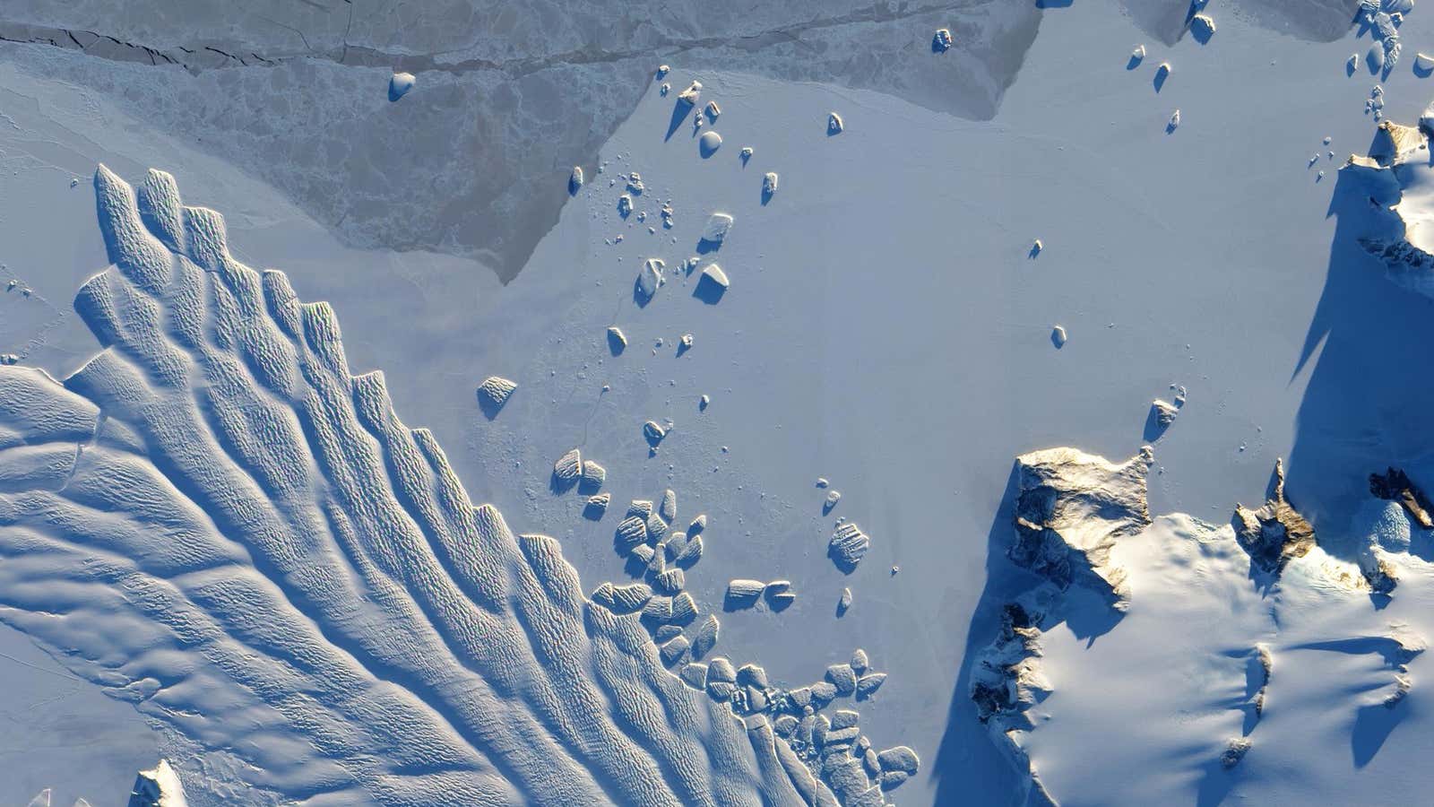
Earth’s frozen landscape, seen from space

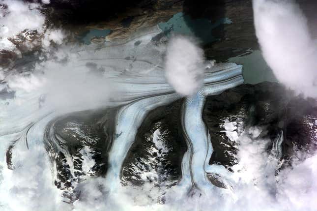
The Matusevich glacier in Antarctica, seen by the EO-1 satellite in 2010.
Image: NASA
By
We may earn a commission from links on this page.

The official beginning of winter is still weeks away yet regions across the northern hemisphere are already experiencing frigid weather.

Northeast US ski resorts are celebrating early snowfalls after an unexpectedly large snowfall crippled transit in the New York City area this month.

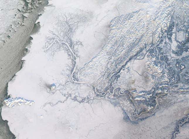
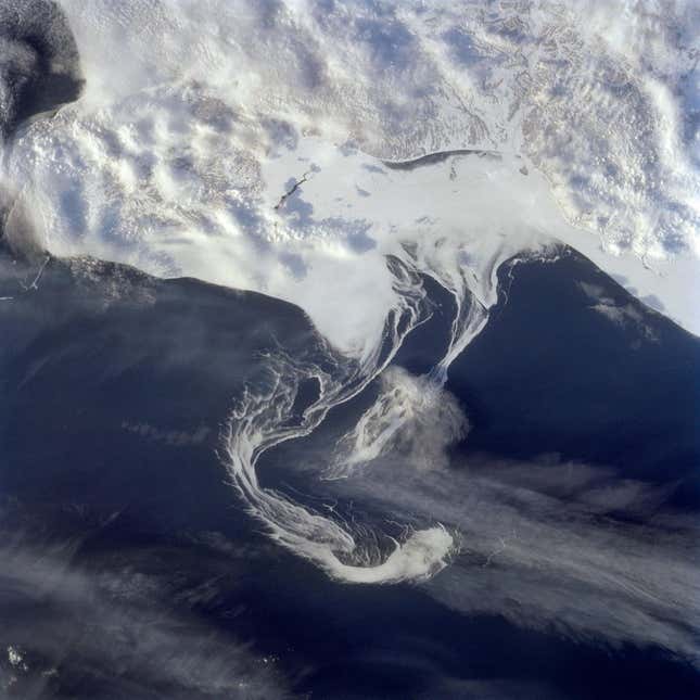
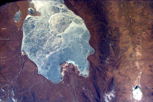
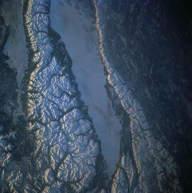
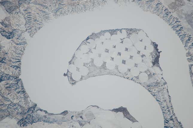
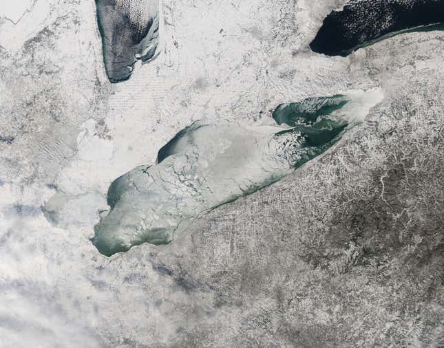
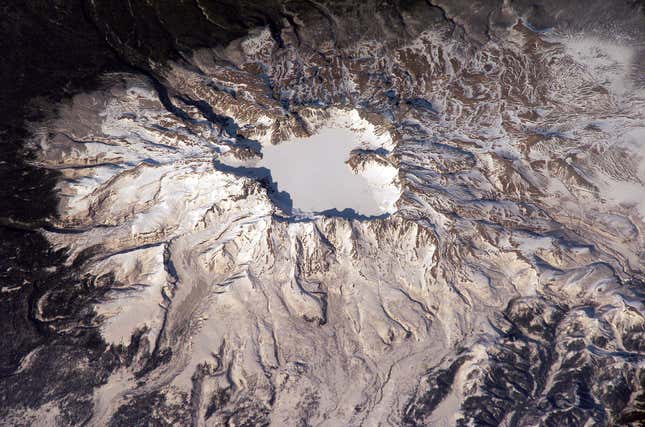
Images from space, taken by from space shuttles, the International Space Station or NASA satellites underscore how much the planet changes when the temperature drops. Lakes freeze into crystalline patterns and previously colorful landscapes take on a palette of whites and grays.
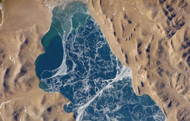
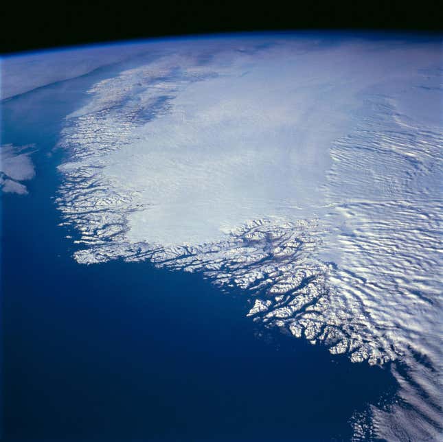
Image for article titled Earth’s frozen landscape, seen from space