The Philippines hopes a trove of ancient maps will prove its territorial claims against China
Yesterday, the Philippines opened an exhibit featuring dozens of maps spanning over 1,00o years of history—a collection that the Philippines says disproves China’s claim of sovereignty over a rocky shoal in the South China Sea, which has provoked increasing tensions between the two countries.
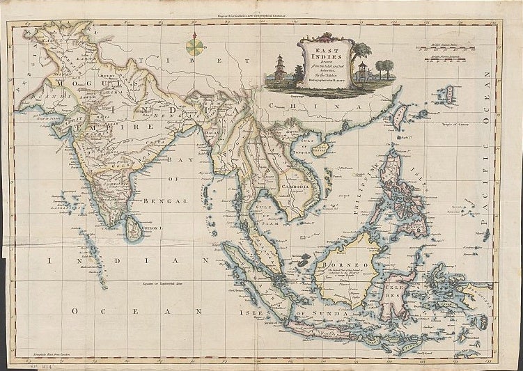

Yesterday, the Philippines opened an exhibit featuring dozens of maps spanning over 1,00o years of history—a collection that the Philippines says disproves China’s claim of sovereignty over a rocky shoal in the South China Sea, which has provoked increasing tensions between the two countries.
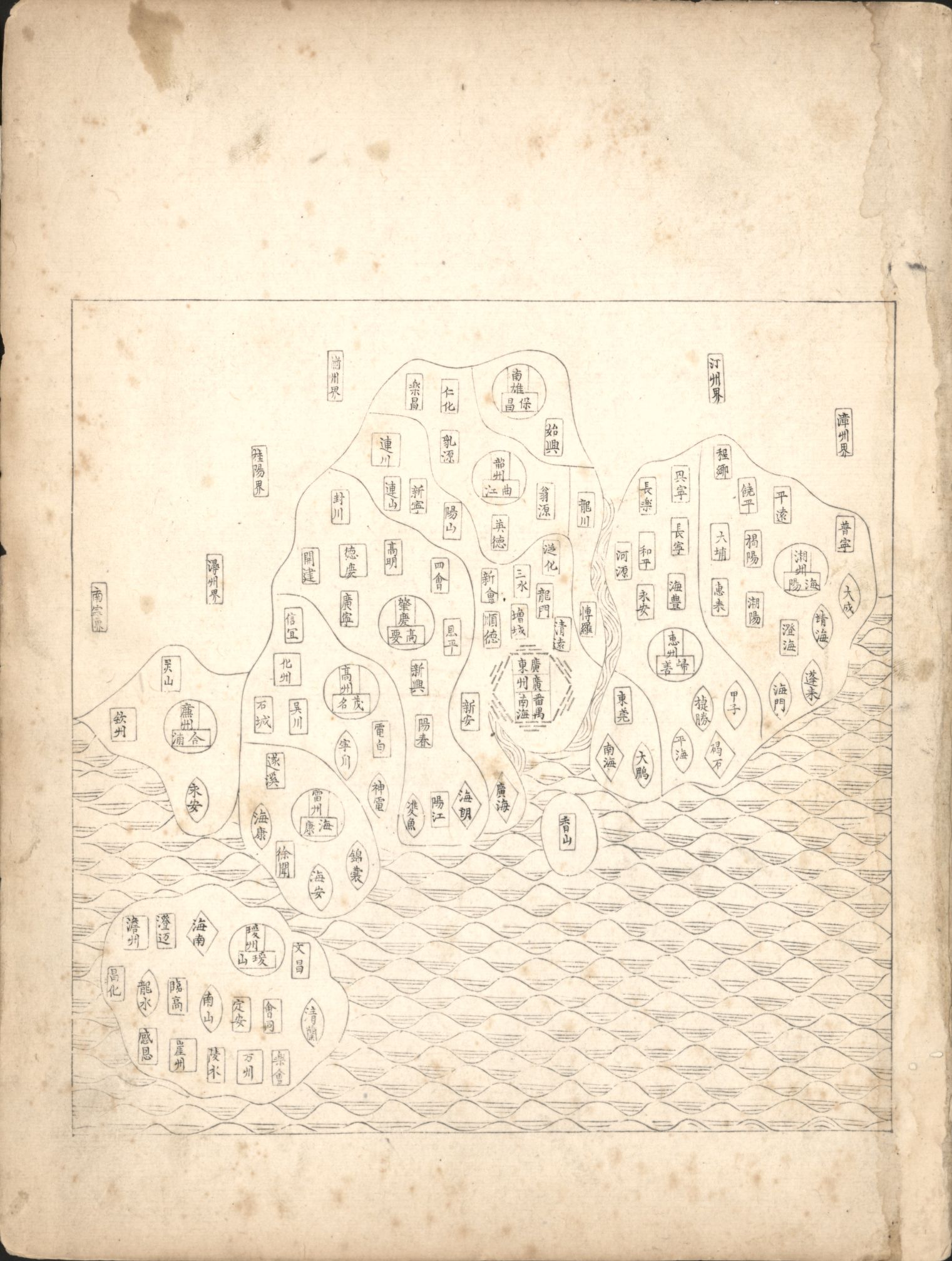
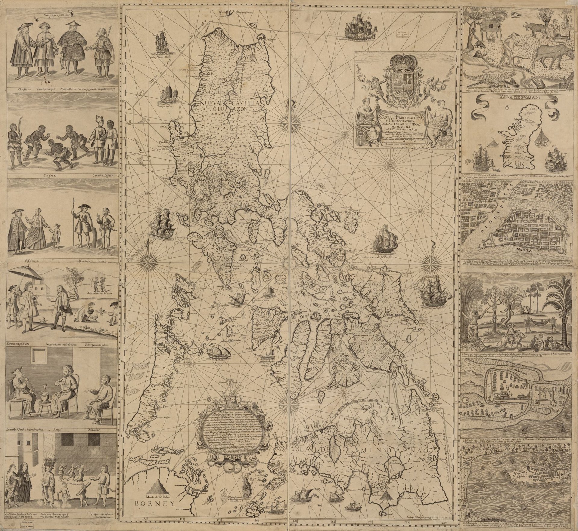
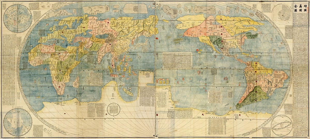
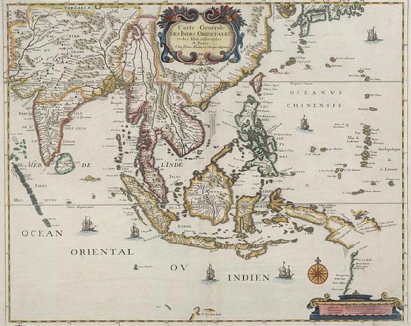
The exhibit held by the Institute of Maritime and Ocean Affairs includes maps from as far back as 1136 A.D. that purportedly show China’s southernmost territory has always been the province of Hainan—which would undercut China’s claims to much of the South China Sea, including territory that is claimed by the Philippines and Vietnam, among other countries. Ancient maps of the East Indies, of which the Philippines was a part, are shown to include what is today known as the Scarborough Shoal, a small piece of land about the size of three rugby pitches to the west of the Philippines, home to valuable fisheries and potential fossil fuel reserves.
China has held control of the shoal since 2012, leading to clashes between Filipino and Chinese fisherman and an ongoing arbitration case at the International Tribunal on the Law of the Sea. (Appropriately enough, the shoal is depicted in some of these old maps as “Panacot,” the Tagalog word for “threat or danger.”) Elsewhere in the disputed area, China appears to be building an airbase and a kindergarten, raising the risk of further tensions.
But as the the exhibit says itself in its catalogue, quoting a 1986 judgement by the International Court of Justice, “Maps merely constitute information which varies in accuracy from case to case; of themselves, and by virtue solely of their existence, they cannot constitute a territorial title.”
Here are some of the other maps and their historical claims, according to the Philippines government.
