If you have lived anywhere in the US that frequently has severe weather, you are undoubtedly familiar with the the no-nonsense, all-caps style of the National Weather Service alert.
THE NATIONAL WEATHER SERVICE HAS ISSUED SEVERE THUNDERSTORM WATCH IN EFFECT UNTIL 9 PM CDT THIS EVENING FOR THE FOLLOWING AREAS.
After decades of delivering reports exclusively in uppercases letters, the Weather Service says it will switch the type on three kinds of forecasts to mixed case, starting on May 11. Severe weather warnings will switch first, and the remaining Weather Service products will stop shouting by the end of the year.
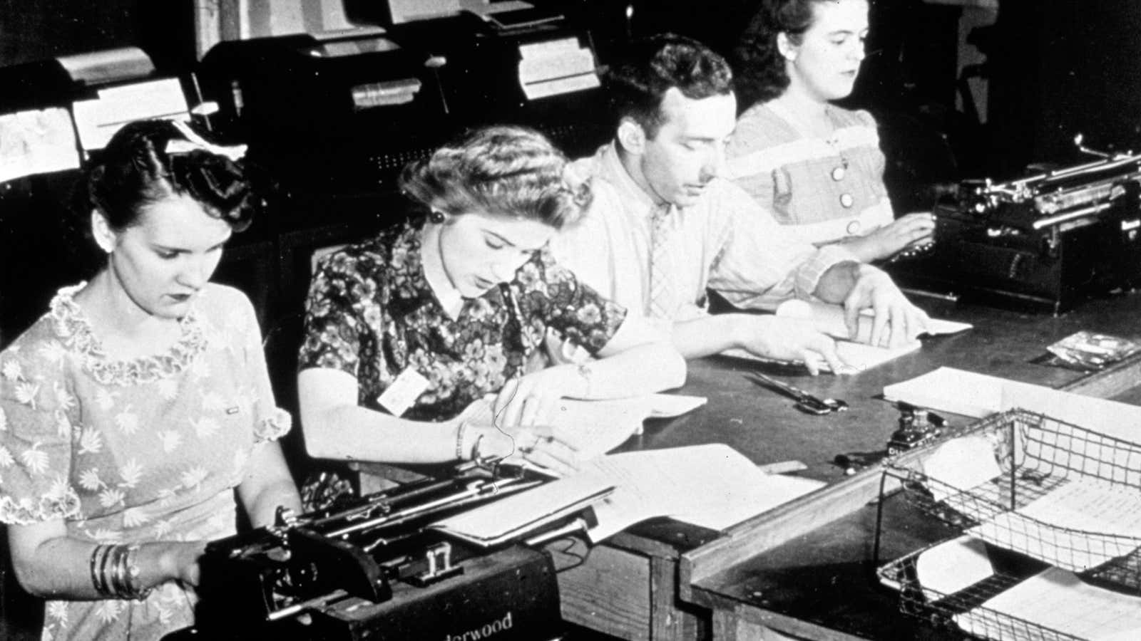
Weather Service communications were originally designed for teletype machines, which had only capital letters. It has taken decades for the Weather Service to phase out those machines. With teletype finally gone, allowing for lowercase letters and switching to mixed-case lettering was just a matter of updating the forecasting software, the Weather Service says.
In every other way the new alerts will be just like the old ones. They will still describe the weather, establish “watches” when the things turn sour, and warn of “certain death” when things are really, really bad. The Weather Service says forecasters will reserve the right to continue use all-caps in the most dire situations. The rest of the time the weather will be, appropriately, less loud.
The image at the top of this post was shared by NOAA under a Creative Commons license. It has been cropped and converted to grayscale.
