Lakes and coastlines usually wear the tint of sapphire, but sometimes these waters turn into huge bowls of muddy pea soup, when harmful algae invade. Thanks to climate change, it’s happening more often than ever before, all over the world: from Greenland to the Rio Olympic diving pool just yesterday.
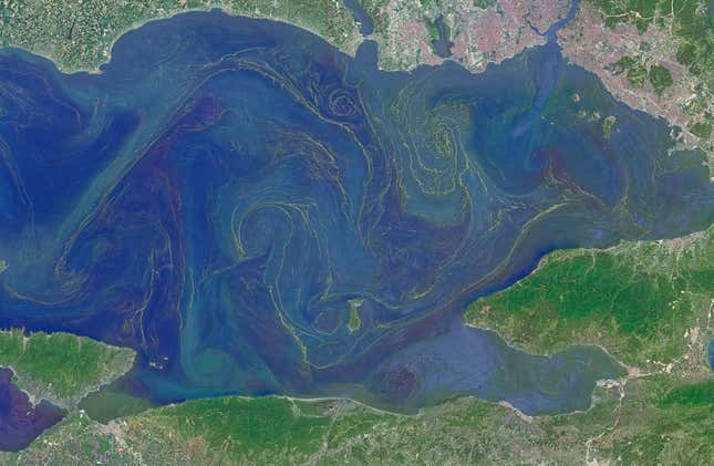
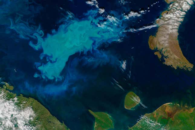
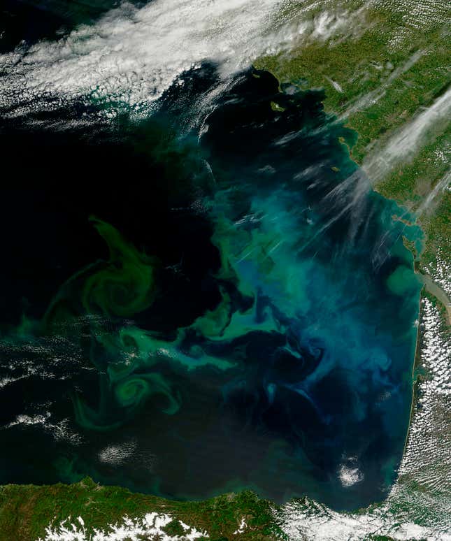
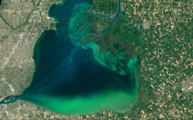
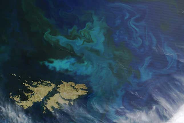
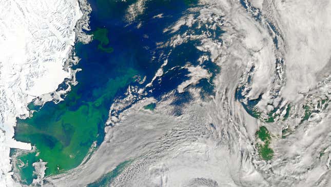
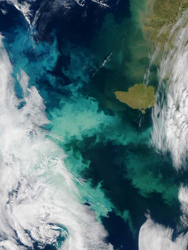
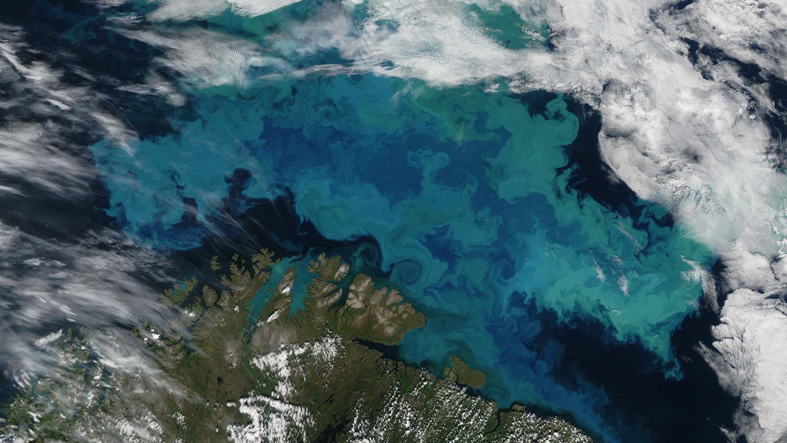
Looking from satellites orbiting the earth though, landscapes plagued by algae are disguised as beautiful paintings of swirling turquoise—but scientists can use these lovely images to predict the blooms and help people avoid the dangerous green scum.
An algae bloom occurs when a population of algae in the water grows exceptionally fast, fueled by fresh nutrients brought to the area or by warming temperature. As a natural part of the marine ecosystem, most types of algae are not toxic. But some are. The blooms that release toxins are officially termed Harmful Algae Blooms (HAB), and are a serious health hazard to animals and human beings. Some of the most common HABs are blue-green algae (or cyanobacteria) blooms that happen in fresh water, and phytoplankton blooms in the oceans. The toxins these blooms release can cause paralysis in animals and more rarely in human beings, contaminate water supplies and seafood, and suffocate masses of marine life when they deplete oxygen in water as they decompose.
These harmful blooms are more likely to occur in areas with relatively still water, or at the mouth of a river and coastal areas, where waste full of nitrogen and phosphorous—fresh nutrients algae love to feast on—pour into the ocean.
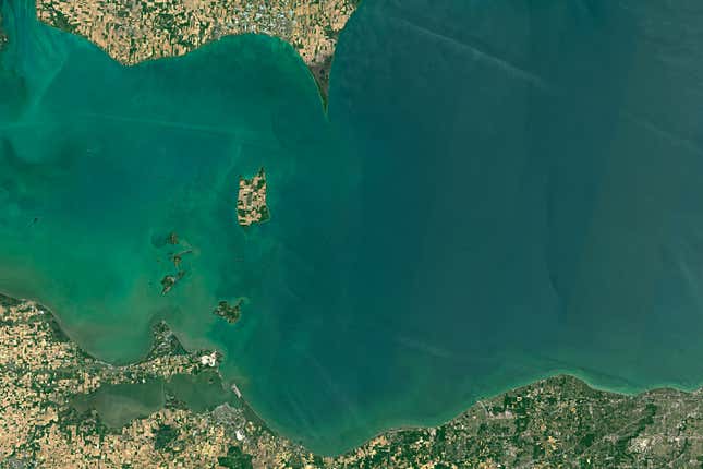
There are some parts of the world that suffer annual massive algae blooms. In Lake Erie in Ohio, United States, a bloom caused a tap water ban in nearby towns in 2014; the next year, a bloom hit the coast of Qingdao in China (though beachgoers there were strangely excited about frolicking in thick green sludge than worrying about the potential health effects). It’s likely to become a more common occurrence: a 2015 study by NASA and the US National Oceanic and Atmospheric Administration (NOAA) warns that because algae grows faster in warmer temperatures, blooms may go up by 20% in the next century because of global warming.
Because there is no quick fix to this environmental hazard, Richard Stumpf, an oceanographer from the NOAA is partnering with NASA to use satellite remote sensing technology to at least monitor the blooms. The project has created a HAB forecast system tracking blooms in western Lake Erie and Florida. The forecast releases weekly bulletins with information on how much algae there is during a current bloom, where the bloom is at a given time (they can move around) and how concentrated it will be. The bulletins help boats avoid getting trapped in areas with thick scum and inform government agencies how to appropriately apply treatment to water supply sources.
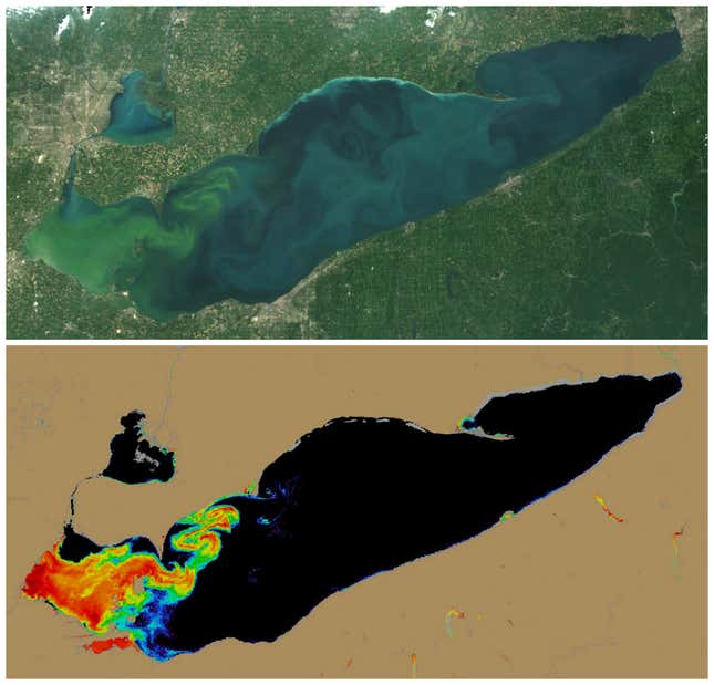
Instead of making use of true-color satellite images like those below, the forecast system uses algorithms to create colorized heat maps that show the amount of biomass of the bloom. Stumpf says the colorized images help make sense of areas that are especially impacted by algae, like Lake Apopka, Florida, where the water has turned so green that it becomes indistinguishable from land.
