The deadly earthquake that hit China over the weekend could be a troubling consequence of the country’s years-long campaign to harness hydropower, say scientists. The quake on April 20 in Lushan county, Sichuan province, which the US Geological Survey measured at magnitude 6.6 but is being pegged at magnitude 7.0 by Chinese authorities, hit on the same fault line as the Wenchuan quake in 2008 that killed over 80,000 people, including more than 5,000 children.
The deadly earthquake that hit China over the weekend could be a troubling consequence of the country’s years-long campaign to harness hydropower, say scientists. The quake on April 20 in Lushan county, Sichuan province, which the US Geological Survey measured at magnitude 6.6 but is being pegged at magnitude 7.0 by Chinese authorities, hit on the same fault line as the Wenchuan quake in 2008 that killed over 80,000 people, including more than 5,000 children.
“After the Wenchuan quake, the fault line became active as its stress wasn’t completely released. So it was possible for a 7.0 magnitude aftershock even five years later,” Fan Xiao, chief engineer at the Sichuan Bureau of Geology and Mineral Resources told the Global Times. The death toll so far in last weekend’s quake is 188 people, with 11,500 others injured.
Join 500,000+ readers who start their day with Quartz.
By subscribing, you agree to our Terms of Service and Privacy Policy.
Scientists have long argued that the weight of water reservoirs can cause seismic shifts that trigger tremors, also known as reservoir-induced seismicity. (The Hoover Dam in the US, the Koyna Dam in India, and the Katse Dam in Africa are notable examples.) In 2009, Chinese researchers said the 150-meter tall Zipingpu dam (pdf), 5.5 kilometers from the epicenter of the Wenchuan quake, had clearly affected seismic activity and may have triggered a quake earlier than it would have naturally occurred. Yang Yong, a geologist in Chengdu, told the Financial Times (paywall) that the building of reservoirs in Sichuan province has caused more seismic activity.
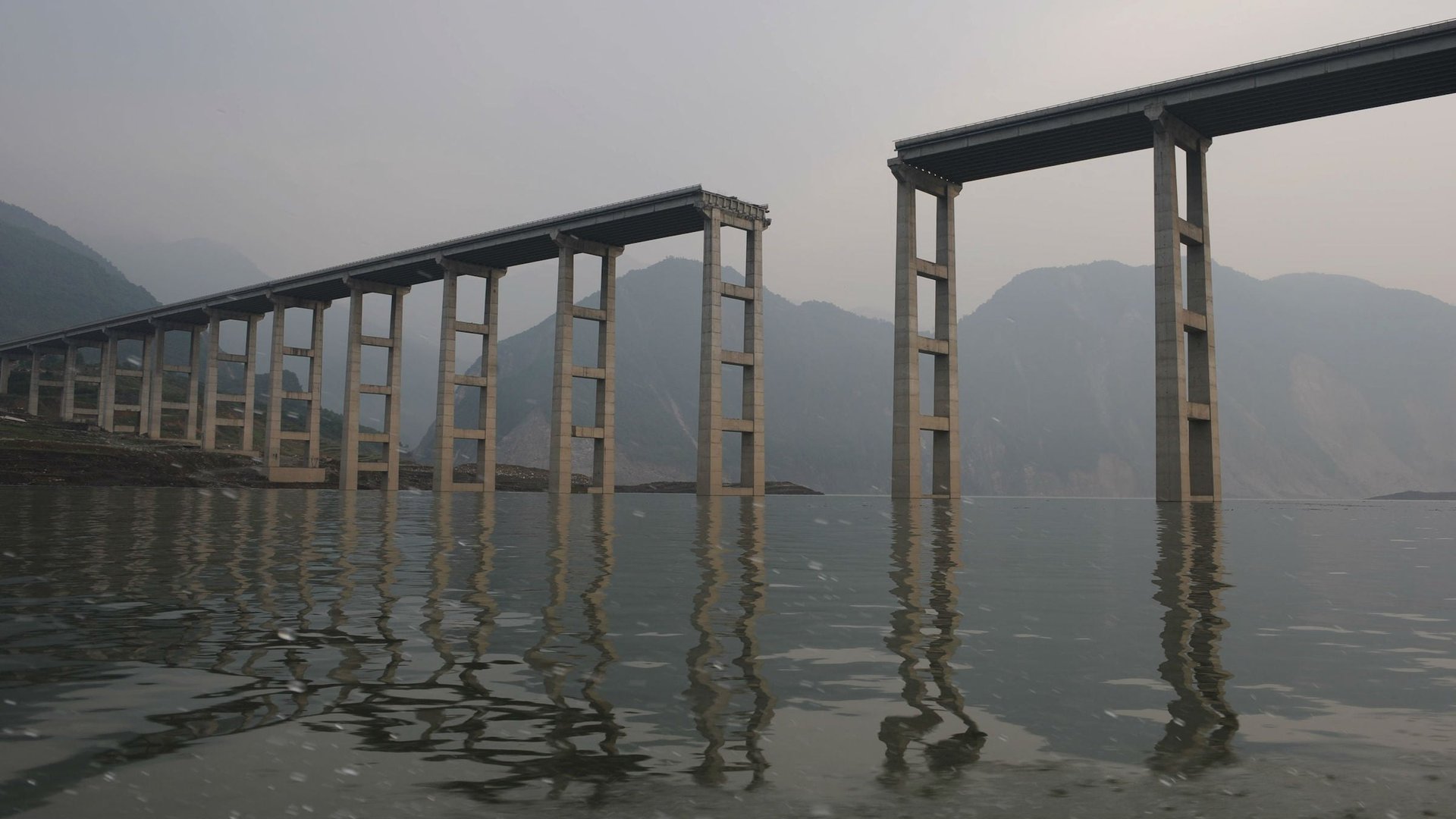
China, bent on being a world leader in hydropower generation, has more dams than the rest of the world combined. The Three Gorges Dam on the Yangtze River is the world’s largest hydropower project. It has come under criticism even from Chinese officials and others concerned about its geological impact. A 2011 study by government seismologists concluded the dam had increased seismic activity near its reservoir. Over 3,400 earthquakes were registered in the reservoir’s vicinity between 2003, when the dam began operation, and 2009.
Still, the government is building more dams, especially in the southwest, which is rich in water resources but also prone to tremors.