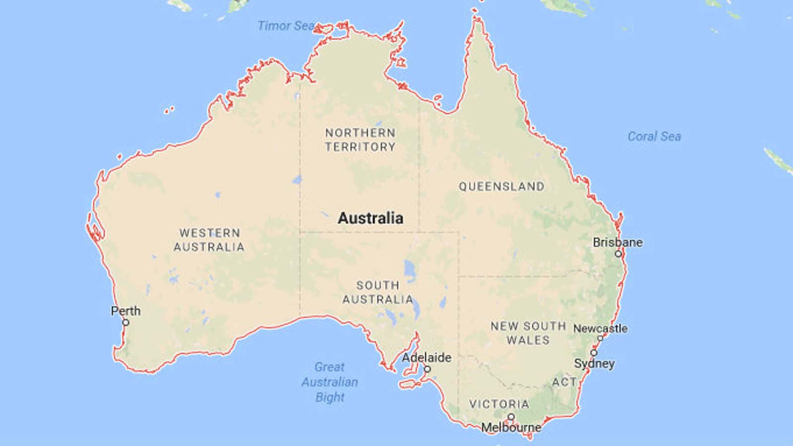
Australia may be the world’s most mischievous continent. Not only does it try to pull one over on us with its pink-colored lakes and insistence that Vegemite is edible, the country—home to more than 23 million people—has actually moved.
It’s traveled 4.9 feet (1.5 meters) since 1994, to be precise. That might not sound like a major journey. But as the New York Times reports, Australia’s annual shift 2.7 inches (6.9 centimeters) northward, combined with a clockwise rotation, is incredibly fast by geological standards.
Australia’s movement is caused by the shifting tectonic plates that make up the earth’s surface. The North American plate, by contrast, travels roughly one inch per year.
Thanks to various countries moving at different rates and in different directions, our models of the earth soon become out of date, if only by a few inches. This isn’t just a quirky problem for cartographers to mull over. GPS coordinates are calculated based on models of the earth. And so as Australia moves, our GPS gets increasingly inaccurate.
Just a few inches can make a real difference to the efficiency of GPS-operated systems. Mining companies in Australia rely on GPS to control trucks from hundreds of miles away, the New York Times reports. And when it comes to self-driving cars, veering a few feet from where you’re supposed to be send you headlong into a crash.
Australia’s longitudes and latitudes will be formally adjusted at the end of this year, so that GPS can keep careful track of the country. Over the past 50 years, similar corrections have been made four times. In 1994, Australia’s location was adjusted by 656 feet (200 meters).
So next time you get lost following GPS-directions, don’t blame your navigation skills. Blame Australia.
