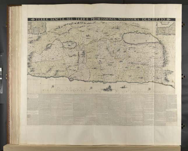
If you want to bribe a king, send him the biggest possible book. Ideally, make it a world atlas with giant maps showing all the countries he has conquered, as well as domains awaiting his dominion. And at the back, slip in a map of the Holy Land, where he can go once his reign is accomplished.
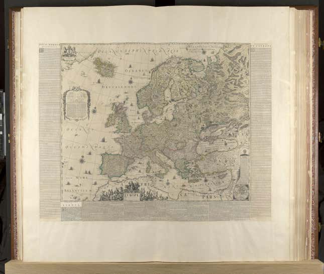
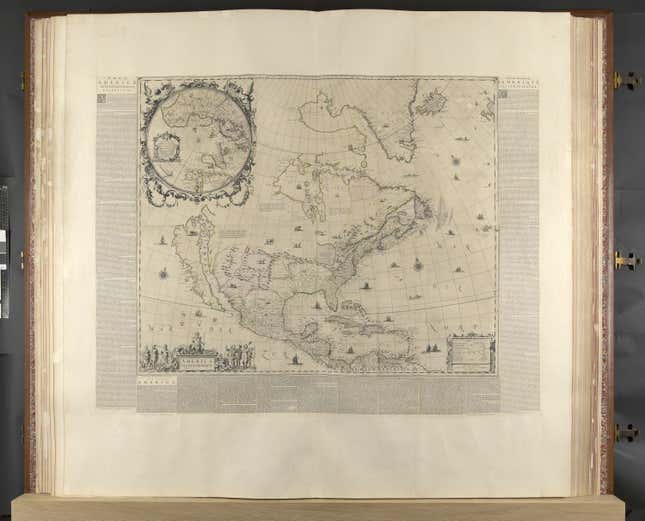
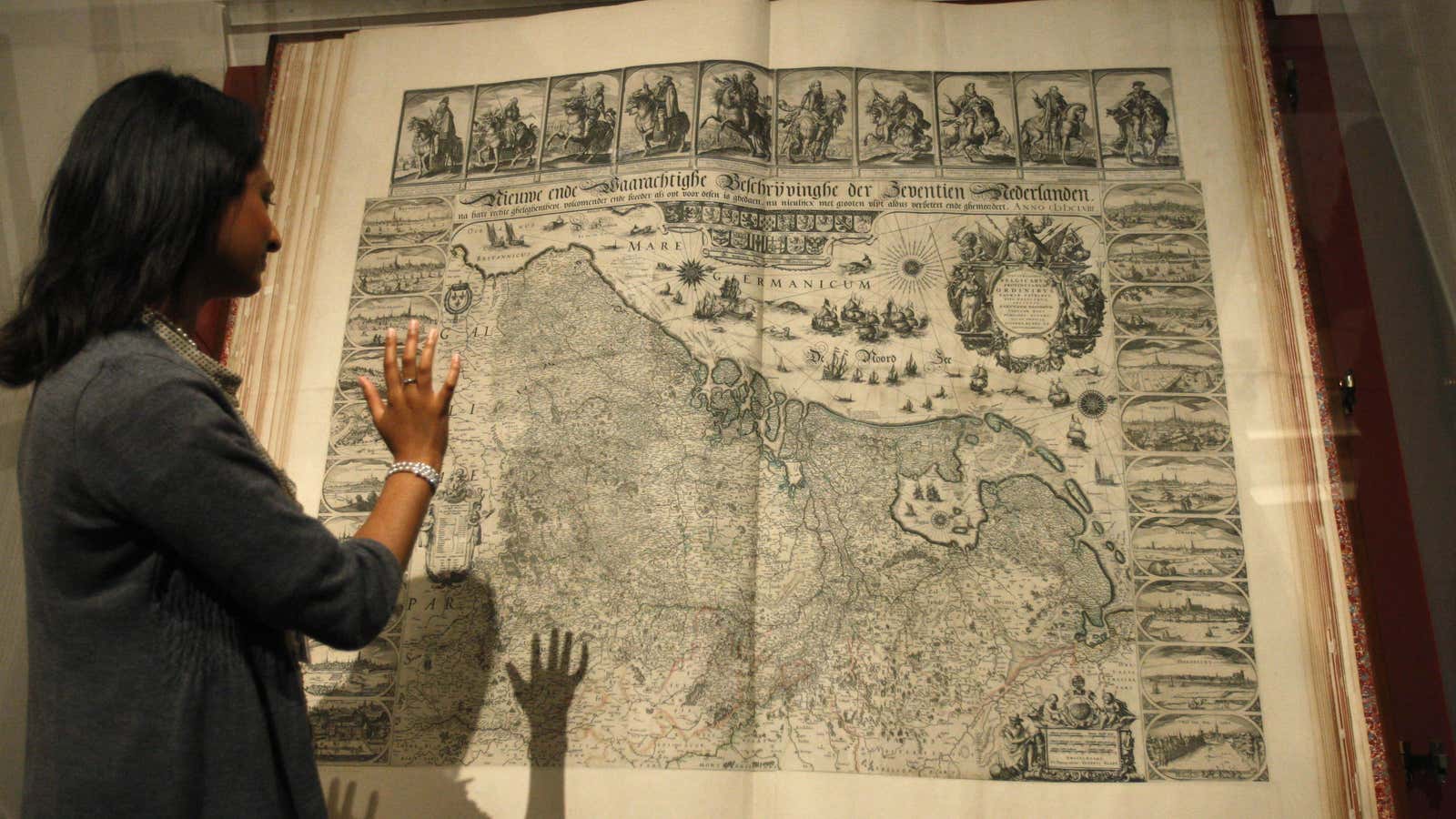
Klencke Atlas, the most prized object in the British Library’s maps collection, was presented to Charles II of Britain—a map enthusiast—by Johannes Klencke in 1660, the year Charles ascended the throne. Measuring 5.7 ft high and 7.5 ft wide when open (176 cm x 231 cm) and containing over 40 wall maps, the atlas remained the world’s biggest until 2012. It has recently been digitized and made available on the Library’s online catalog.

Klencke was a Dutch theologian and merchant, who was trying to wrangle a favorable deal exporting sugar from Dutch Brazil to Britain’s vast network colonies. Britain was rising as a significant rival to Dutch interests at that time, and disputes over trade had brought the two countries to war just a few years earlier, in 1652.
Most likely, Charles II did not make practical use of the giant atlas, but displayed it proudly in his cabinet of curiosities. Tom Harper, the lead curator of British Library’s antiquarian map collection, says that “this atlas would certainly have been seen first and foremost as an object of culture and of learning.”
Maps and atlases were not so much functional objects, he says, but were objects for enjoyment and reflection that symbolized “every single type of knowledge of the world.” It was not until 1700s that rulers started using cartography as a practical tool of governance, when Louis XIV used maps for taxation purposes.

By gifting this atlas to the king, Klenck was effectively flattering Charles II as an intellectual monarch worthy of all the knowledge contained between those giant covers. Maps of England, Scotland, Ireland, and France would have reminded the king of his vast empire—while the incomplete maps of North America and Southeast Asia would have shown him the territories he had yet to conquer.
“If you want to give a gift to a King, you make it a good one. You make it a big, extravagant, important thing that the King’s gonna like,” Harper says. “That explains why this is such a big, stupidly impractical book.”

Along side ownership of massive atlases, European monarchs were taught how to govern with political treatises written by philosophers and theorists—like Niccolò Machiavelli’s The Prince. The treatises instructed monarchs on how they should read, dress, and which objects they should surround themselves with.
In one such text titled La Tipocosmia (1651), by Italian writer Alessandro Citolini, the author tells the story of a Count leading his guests into his study, where lies open ”a book of enormous size,” showing the “incomprehensible God in his incomprehensible shape” and “the high, intelligible ideas.”
“It is surely something which was in the minds of the creators of the three big atlases given to monarchs around this time – the Klencke, the Atlas of the Great Elector, and the Rostock Atlas,” says Harper.
Little is known about Klencke, or whether his wish was granted by Charles II after the atlas was received. Considering that he was knighted by the king that same year, Harper says we can be “fairly sure” Klencke was given what he wanted.
