Last month, rampaging wildfires in California put tens of thousands of people under evacuation orders, caused as much as $275 billion in economic damages, and scorched dozens of square miles.
The Earth Fire Alliance aims to catch fires when they're still small using a global constellation
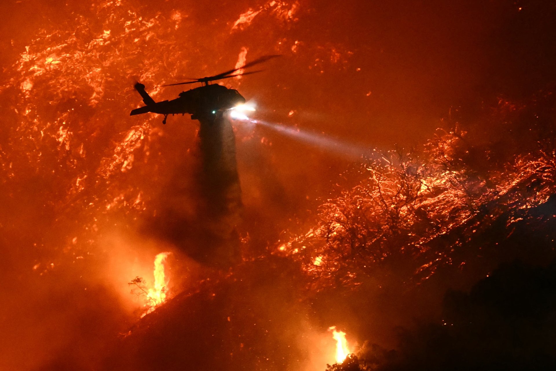
Last month, rampaging wildfires in California put tens of thousands of people under evacuation orders, caused as much as $275 billion in economic damages, and scorched dozens of square miles.
Earth Fire Alliance, a nonprofit backed by Google $GOOGL (GOOGL), the Minderoo Foundation, and the Environmental Defense Fund, is on a mission to detect fires sooner — giving local authorities more time to respond and divvy up resources.
“The very first thing that we’re trying to do, and I think the whole community is trying to get, is a better understanding of fire... Fire is a natural occurrence on our landscape,” said Earth Fire Alliance Executive Director Brian Collins. “However, high intensity, fast-moving fires represent a huge threat to our economic stability, our public safety, our life and health across the whole planet.”
The Alliance’s flagship program is what it calls “FireSat,” a planned constellation of more than 50 satellites that, once launched into orbit, can provide real-time data on wildfires, both large and small. The Alliance will work with some early adopters, namely regional partners and fire agencies, to distribute that data.
Once the full constellation has been established, FireSat is expected to scan the globe for wildfire activity every 20 minutes across six spectral bands, which helps prevent false-positive results. FireSat is projected to be capable of quickly detecting fires as small as a five-by-five meter classroom once fully operational.
“Other systems are not designed for fire. They can detect a fire, but it’s usually really big when you detect it,” Collins said. “We want to pick up a small, low intense fire, even if that means we’re going to detect fern piles because we need to know the intensity.”
That could have major benefits for first responders around the world, who often have limited resources to monitor such fires, appropriately direct manpower, and begin evacuation efforts. According to the Gordon and Betty Moore Foundation, which backs the Alliance, even cutting response times by just 15 minutes could generate up to $8.2 billion in economic benefits.
Muon Space, the California-based startup designing the satellites for the FireSat constellation, has scheduled the first satellite to launch in March as payload on a SpaceX rocket. That satellite will form the basis of the Alliance’s efforts and also give it time to figure out the best way to transmit the data it collects to first responders and researchers.
The trial run will be followed by the first three satellites of the entire FireSat constellation, with a planned launch targeted for the summer of next year, according to Cathy Olkin, Muon’s principal scientist overseeing the FireSat program. The constellation is expected to be completed by 2029, although Olkin said that even with “about 28" satellites, Muon would be able to scan the Earth for the impact of fire roughly every hour.
“This is going to be transformational,” Olkin said. “This is going to provide information for first responders — how they can respond operationally to fires, and also how they can plan things like evacuation routes.”
Join 500,000+ readers who start their day with Quartz.
By subscribing, you agree to our Terms of Service and Privacy Policy.