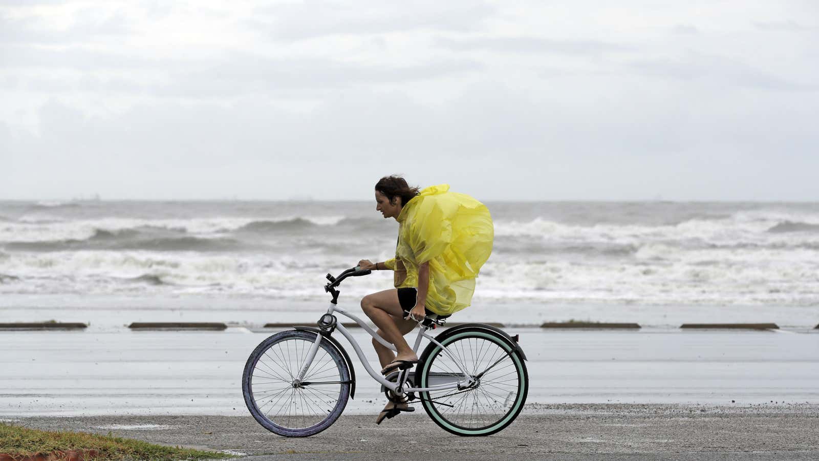
Residents on the Texas coast are bracing for Hurricane Harvey to make landfall over the next 24 hours. Forecasters expect it to be the strongest storm to hit the US in more than 10 years and the strongest storm to hit Texas in decades.
Harvey has been gaining strength in the Gulf of Mexico, and is expected to hit Texas late tonight (Aug. 25) or early tomorrow morning. The tropical storm was upgraded by the National Weather Service to a category 2 hurricane this morning, and could rise to category 3 when it hits land, with winds of at least 111 mph.
Texas Governor Greg Abbott requested 700 National Guard members standby to help with emergency evacuations and search-and-rescue efforts, oil refineries have closed, and offshore platforms evacuated. As of 5am EDT this morning, the National Weather Service reported sustained maximum winds of 105 mph. It pegged the storm at 180 miles southeast of Corpus Christi, a small city tucked in a bay and home to diverse wildlife, which has encouraged residents to evacuate. Flood warnings are in effect up to 100 miles inland.
Here are some of the ways you can track the storm’s progress and conditions on the ground as Hurricane Harvey hits Texas:
Hurricane Harvey storm tracker:
[protected-iframe id=”2befe1e2c53c8f5d901cbf80988487a1-39587363-95155909″ info=”https://project.wnyc.org/hurricane-tracker/index.html?year=2017&storm=harvey” width=”100%” height=”760″ frameborder=”0″ scrolling=”no”]
[Update] Storm chaser live stream:
Update 9:25 pm: Professional storm chaser Jeff Piotrowski is broadcasting live from Rockport, TX.
Update 11:04 pm: Piotrowski started a new live stream after winds from the hurricane eyewall took out his structure.
Update 11:11 pm: Piotrowki is streaming live from the eye of the storm.
Watch these live webcams as Hurricane Harvey hits the Texas coast:
(Update 9:22 pm: Many of the webcams appear to be experiencing technical difficulties)
- The city of Corpus Christi has two webcams, one from the city marina looking back towards downtown, and one from Whitecap Beach looking out at the Gulf of Mexico
- The Dunes Condos TDPS webcam shows a view of the Gulf from Port Aransas, a small Gulf city near Corpus Christi
- The Port Aransas ferry landing has north-facing and south-facing live webcams
- The Dolphin Docks in Port Aransas also has two streams, with one facing the shipping channel from the Gulf into the bay
- The Texas Department of Transportation has a live webcam of highway traffic in Corpus Christi.
- Moody Gardens amusement park in Galveston, TX has a ‘pyramid cam’ that looks out onto the water
- The Isla Grand Beach Resort webcam shows views of South Padre Island, south of Corpus Christi
- South Padre Island live cam is pointed at the north beach.
- First Community Bank in Corpus Christi offers time-lapse imagery from its high-altitude webcam.
