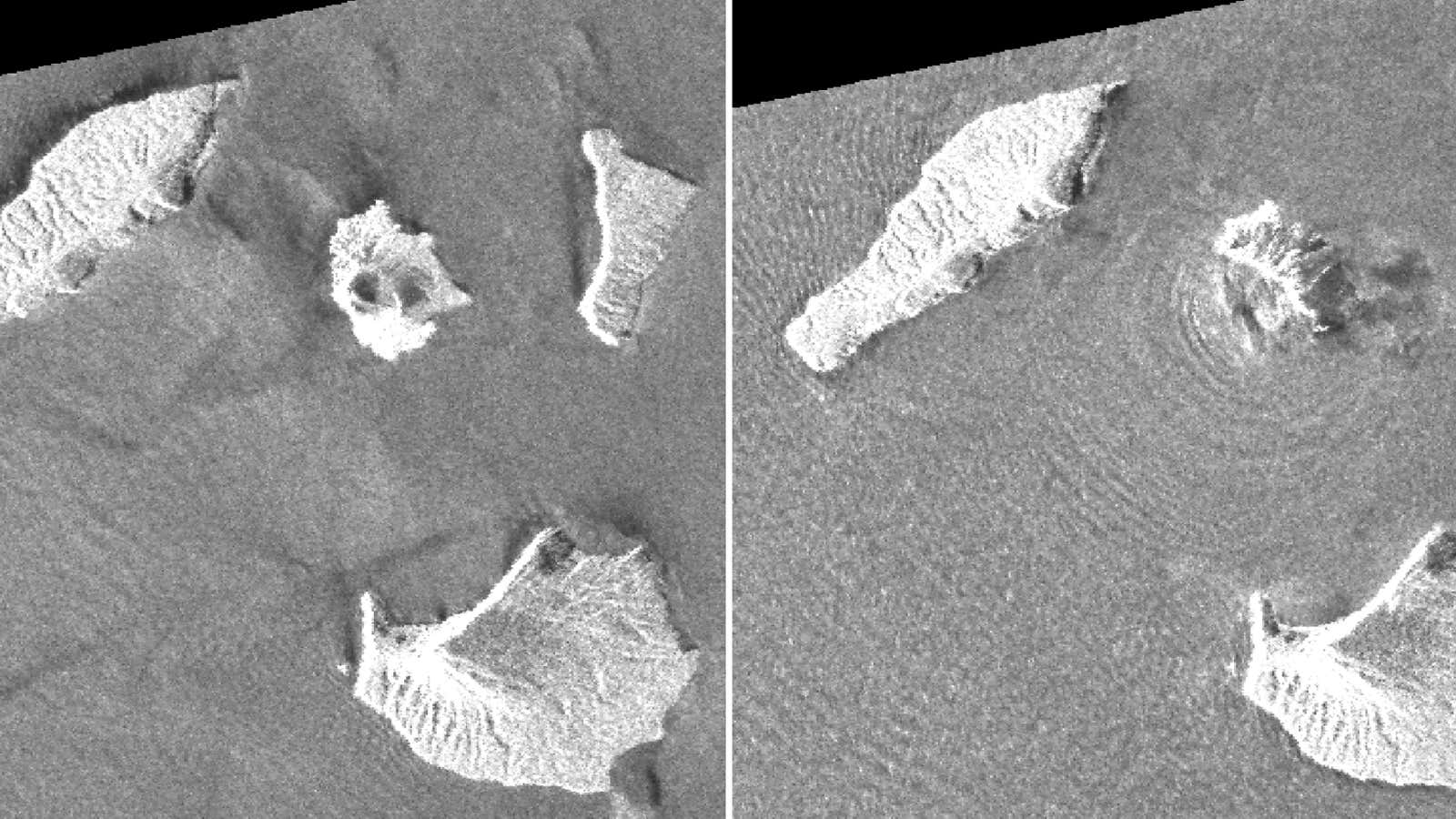
Capella, a satellite startup, had a Jaws moment last year: Eyeing the competition circling its nascent space radar business, it realized it needed a bigger spacecraft.
At the beginning of 2019, Capella launched its first satellite, called Denali. Capable of using a unique radar antennae to image the earth at a resolution of about a meter per pixel, it was a pilot for the first US network of privately operated synthetic aperture radar, or SAR, satellites.
Space radar can peer through a traditional obstacle for sensors operating in the visible wavelengths—the clouds. Whether tracking North Korean mobile missile launchers or container ships plying the sea lanes, near real-time knowledge offered by space radar is seen as increasingly valuable by governments, businesses, environmental groups—even archeologists searching for ancient ruins.
In the past, the enormous cost of launching delicate sensors into space made such projects prohibitive outside of top-secret government projects, but falling costs of space access and electronics have convinced entrepreneurs that a commercial solution is now possible. Capella has already signed deals with the National Reconnaissance Office, which operates US spy satellites, and the US Air Force.
But though Capella attracted $80 million in investment and interest from potential customers, the founders realized the market was demanding higher-resolution imagery, down to half a meter per pixel or less. (US law forbids satellite radar companies from selling imagery below .5 meter resolution to anyone but the government.)
“If they’re looking at an airport…they want to know what kind of a fighter jet is sitting there, what kind of a tank is there, as opposed to just that it is [there],” says Capella CEO Payam Banazadeh.
Capella announced this week that upgrades to its spacecraft, including a redesigned antennae and a larger solar array, will make it twice as big—weighing about 100 kg—and far more capable than the previous version. The company has finished fabrication of the new satellite, called Sequoia, which is intended to launch onboard a SpaceX rocket in March, while six more satellites will be fabricated and sent to orbit later in the year. Eventually, the company wants to operate 36 satellites.
The pressure to improve isn’t just coming from customers; the potential market for space data is growing at a rapid pace, with public and private investment flowing towards radar satellites.
TerraSAR, a satellite operated as a German public-private partnership, already produces some imagery at .25 meter resolution, and ICEye, a Finnish startup, already has 1 meter resolution SAR imagery in the marketplace.
“If you look around [at] some of the other radar systems that are coming out now, whether it’s a follow on to SAR-Lupe in Germany, or Japanese systems, or the Korean systems that are contemplated, they’re all reflector-based systems—that very high quality, very high resolution,” says Christian Lenz, Capella’s VP of engineering.
Recent space radar projects
Capella’s engineers are at pains to note that resolution isn’t everything. Another key measure is the signal-to-noise ratio in the data collected when the satellite beams radio energy at the earth and then analyzes how the signal is reflected back. A noisy, high-resolution image is no good, just as a clear, low-resolution image isn’t much use either. Engineers at Capella had to analyze the trade-offs between antennae size, the power of the signal, and their customers’ need to find a “sweet spot.”
There’s also a range of things to think about when maximizing the satellite’s efficiency—for example, the new design includes larger reaction wheels, which spin inside the spacecraft to orient it. The larger wheels will allow the spacecraft to reorient its sensors more quickly, allowing it to gather more data on a single orbit rather than waiting to come around the planet again.
All of that is to deliver data to customer faster than their competitors. Capella has also plugged into the communication network built by Inmarsat, another satellite firm, and to dedicated ground stations operated by Amazon Web Services, to streamline requests for imagery and deliver the usable results more quickly.
