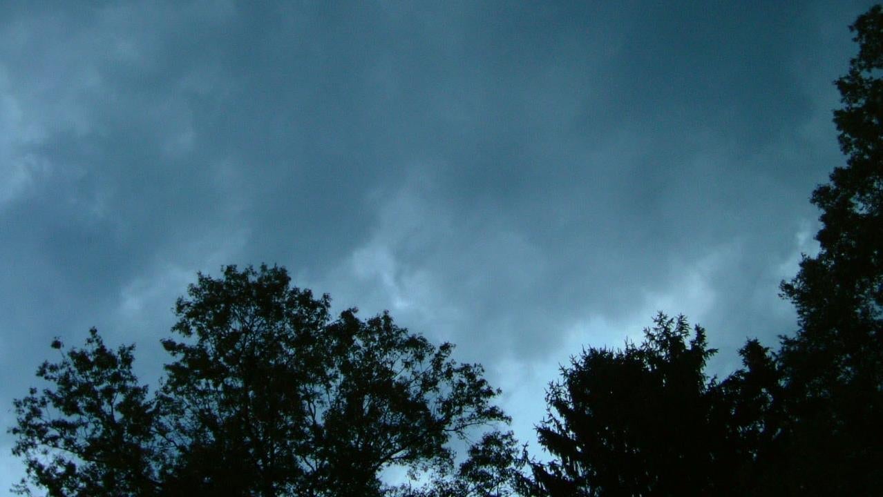
The total solar eclipse could get ruined by bad weather
Many regions face challenging viewing conditions for the eclipse, with only a few areas offering clear skies

Much of North America isn’t looking great for the upcoming total solar eclipse on April 8, with normally clear regions facing bad weather, and areas that typically see poorer conditions now unexpectedly offering some of the best views.
Suggested Reading
I try not to worry about things that are beyond my control, but the threat of poor weather on the Big Day is really getting me down. Nothing on the scale of the Great North American Eclipse will happen again until 2045, punctuating the significance of the upcoming event.
Related Content
Over a dozen U.S. states lie in the path of totality, the zone in which the Moon completely obscures the Sun, along with several Canadian provinces. Tens of millions of people live along the path, while millions more intend to travel to it to catch sight of the rare celestial event. But as the day nears and the weather picture comes into focus, it’s looking as though many people will have their experiences hindered, or completely quashed, by clouds.
Matthew Cappucci, a meteorologist for the MyRadar app, says the overarching weather forecast for North America is not fantastic, and that many locations could have limited or obstructed views of the eclipse; that said, there will be areas in which views should be stellar, while weather forecasts in other areas appear to be improving.
Historically, Texas typically has clear skies at this time of year, while Maine typically has the worst conditions due to frequent storms caused by the jet stream in the northeast, Cappucci explained. These storms bring extensive cloud cover, reducing visibility. Generally, the southwestern regions, including Texas, have better viewing opportunities, with clear skies about 70% of the time. However, this year is an exception, with unusual weather patterns disrupting these typical conditions. “Things are very topsy-turvy,” he said.
A low-pressure system over the central plain is affecting the weather significantly, with warmth and moisture being scooped northward, creating a “veil of cloud cover across part of the deep south, the Midwest, and even the southern plains,” Cappucci said. As a result, Texas is not expected to have promising viewing conditions.
In contrast, “there has been some encouraging news for places like northeast Arkansas or Missouri or even southern Illinois,” he continued, saying there’s a chance they’re in what’s called the “dry slot,” which could offer a better chance for clear skies. The situation is similar in Carbondale, Illinois, southern Indiana, and Indianapolis. However, despite some possible gaps in the clouds, viewing in Dallas, Fort Worth, and San Antonio remains doubtful.
Cappucci said parts of the northeast, particularly New England, “looks great,” while eastern New York state and the Hudson Valley “looks decent,” with some high thin cloud cover, but not enough to ruin the show. “And then pretty much all of Maine, Vermont, New Hampshire, southeast Canada, particularly near Montreal, looks picture perfect,” he said. “There will be some cloud pushing through Ohio, western Pennsylvania, and perhaps Western New York, which could be an issue for Niagara or Buffalo.”
So ironically, the best chances for clear skies are now in the northeast, an area typically known for poor viewing conditions at this time of year. This significant shift in weather patterns has made places like northern Maine and eastward from Watertown, New York, ideal, or at least promising, for viewing. While Arkansas has shown some improvement, Texas remains largely unfavorable, except for minor improvements.
Obviously, we’re still three days out, and these are forecasts, after all. Here’s to hoping for clear skies wherever you find yourself on Monday.